Looking to take a break on the road and enjoy some peaceful time by the water? Today, we’re excited to guide you through some of ‘s most iconic and scenic water bodies, beautifully recreated by our map designers for this upcoming map expansion!

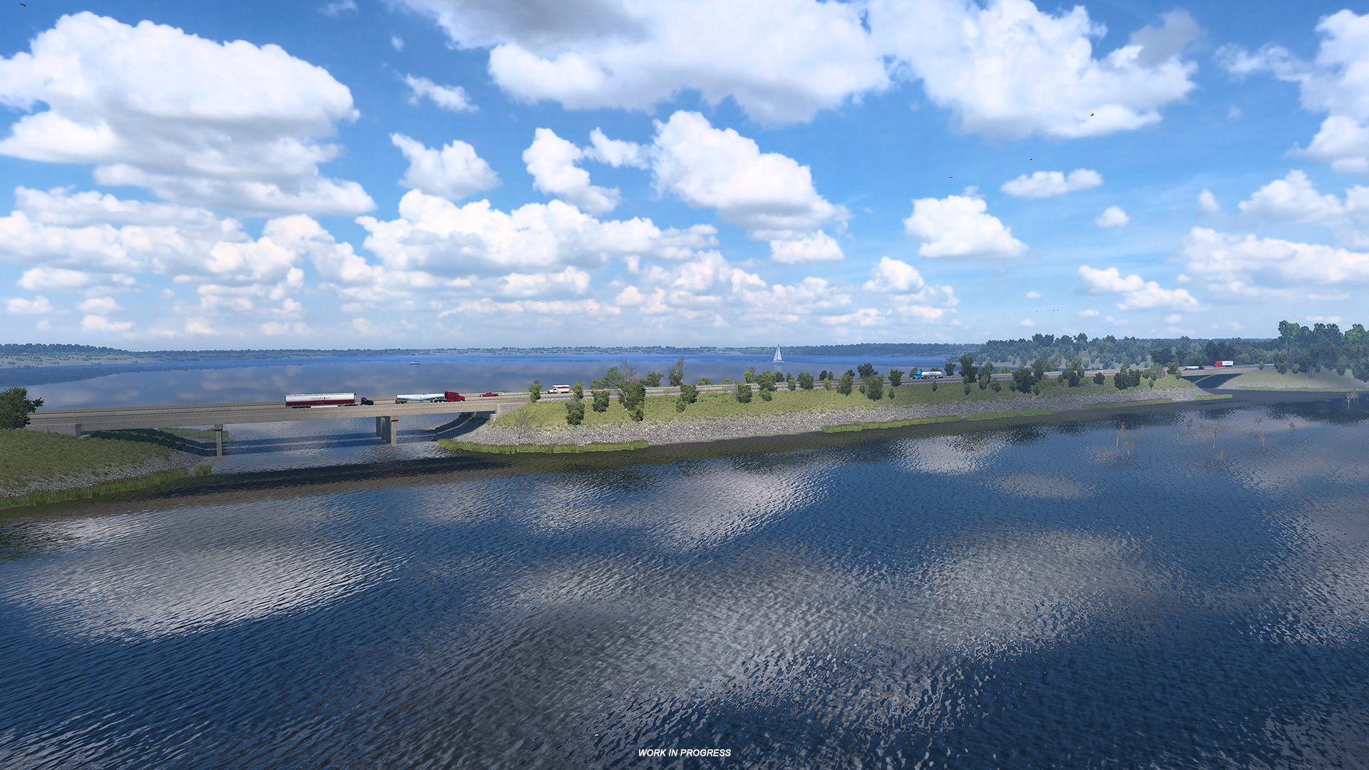
The most prominent of these is the Lake of the Ozarks, a large reservoir formed by damming the Osage River. It was created by the Bagnell Dam which was completed in 1931. The lake has an iconic dragon shape when seen from above, and is located in the center of Missouri within the Ozark Mountains. It covers an astonishing area of 54 thousand acres (220 square kilometers).


Another major reservoir included in this map expansion is the Harry S. Truman Dam and Reservoir, situated along the Osage River, just west of the Lake of the Ozarks. This vast body of water spans over 55 thousand acres (225 square kilometers), closely matching the Lake of the Ozarks in surface area.


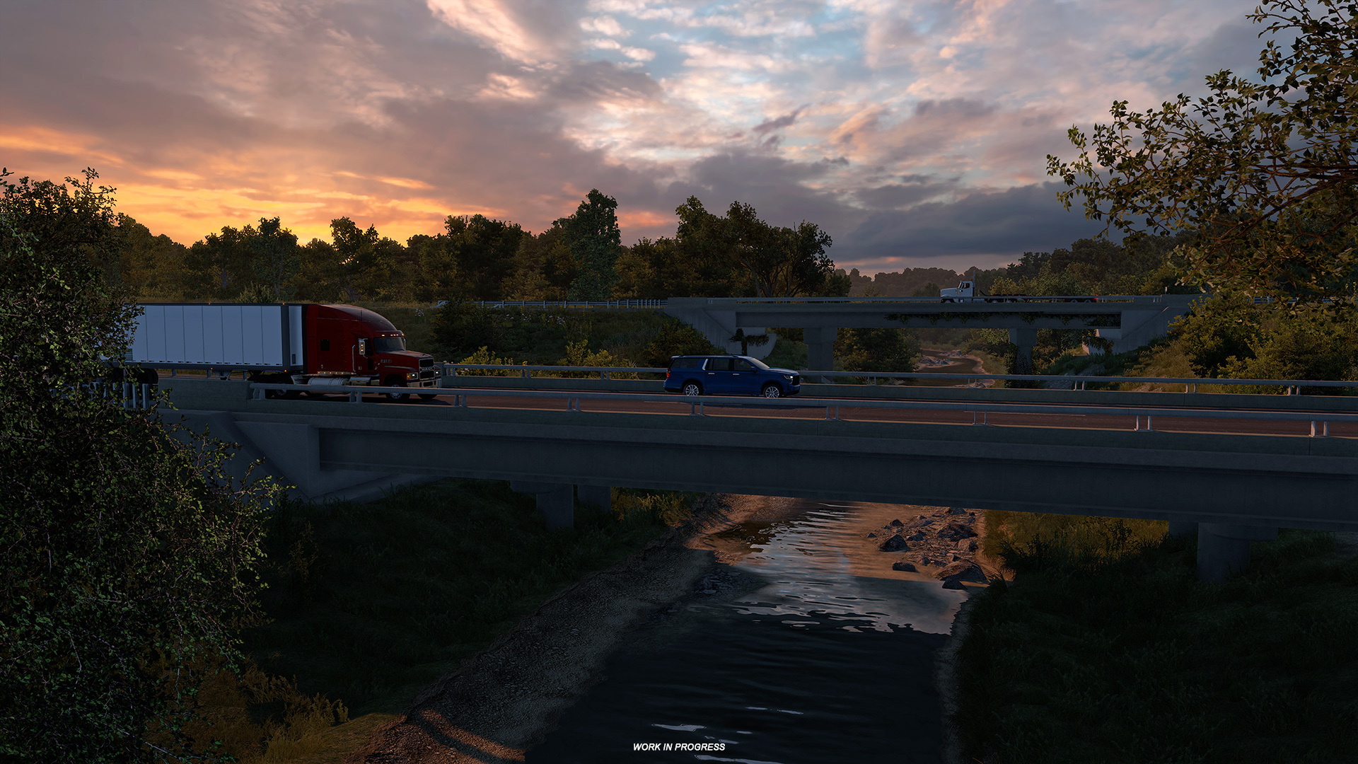
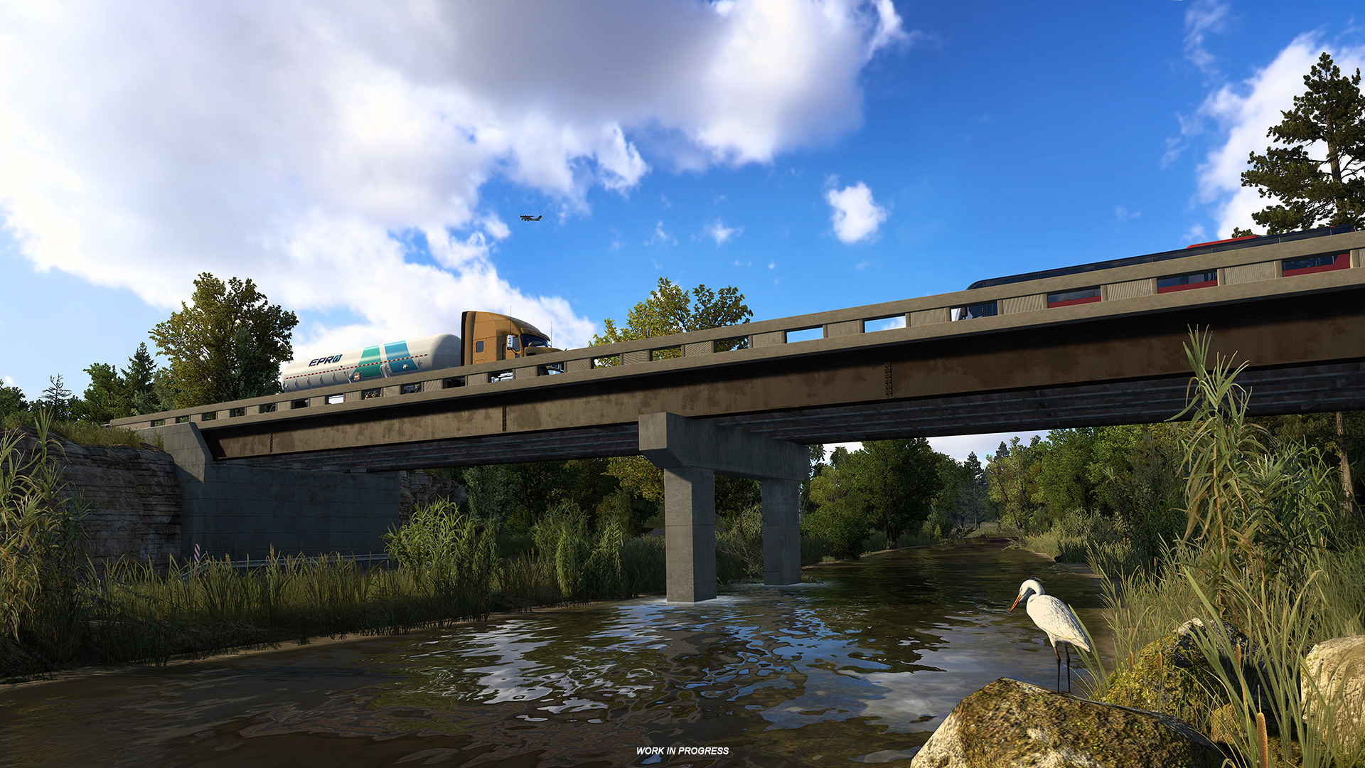
Other than these two reservoirs, the region features a variety of rivers and streams, offering drivers scenic crossings over bridges as they journey through the Show Me State.


You’ll encounter iconic rivers like the Fox, Fabius, and Saint Francis – tributaries feeding into the mighty Mississippi – as well as the Chariton, Grand, and Platte rivers, which wind their way toward the Missouri. Beyond these larger rivers, we’ve also included local gems like the Weldon, and Whetstone rivers, and a part of the Headwater Diversion Channel, along with some other creeks that make Missouri’s terrain so richly textured.


We can’t wait to explore Missouri once it is released in ATS! Want to show us that you are also looking forward to trucking in this map expansion? Then ! Remember to follow us on our , , , and , so you won’t miss out on any American Truck Simulator news. Safe travels!