Welcome to Hutan Pantai, a place where the understated beauty of the East Asian landscape intricately merges with the bustling energy of contemporary urban life, creating a seamless connection as described by Associate Producer and Technical Artist Horia Serban. Discover more in our exclusive interview as Serban elaborates on the vision conceived by him and his group of environmental artists while designing this map.

Mark your calendars for November 12th when Farming Simulator 25 makes its grand debut. There’s still a window of opportunity to place your pre-order to receive the MacDon Pack! Alternatively, opt for the lavish Collector’s Edition, which includes a USB Ignition Lock for starting your virtual tractors.

Horia, could you share a bit about yourself and your role?
I serve as an Associate Producer within the Environment Department at GIANTS Software, wearing the hat of a Technical Artist as well. My career in the gaming industry spans two decades, with the last eight enriching years being at GIANTS. My journey here began with Farming Simulator 17 in 2016, where I was instantly captivated by the game’s distinctive charm. Before this, my career was largely spent on notable titles such as Call of Duty: Ghosts, Dead Rising 3, and Test Drive Unlimited 2, primarily within outsourcing roles.
Farming Simulator, however, opened up a newfound passion for me—this game holds a special place in my heart, and being a part of its ongoing development and transformation is an exhilarating experience. Watching the franchise evolve over the years and knowing that I contributed to that growth fills me with immense joy and pride. It’s a privilege to breathe life into this world for our players, year in and year out.

What kind of atmosphere were you striving to evoke?
For the Hutan Pantai map, our ambition was to craft an authentic East Asian ambiance that reflects the serene coexistence of rustic rural areas with the dynamic pulse of modern cities typical of this region. This intertwining relationship—where busy urban centers are bolstered by the dedication of rural communities—was central to the map’s vision. Capturing the interplay and harmony between these two realms was crucial for us.
Moreover, we aimed to incorporate elements that are exclusive to the region, illustrating how city modernization has streamlined goods transportation. By introducing features like elevated highways and hanging train bridges, we create a continuity that links fields to urban zones, mimicking real-world infrastructure. Our goal was to create a setting that resonates both with familiarity and the distinctive cultural fusion of East Asia.
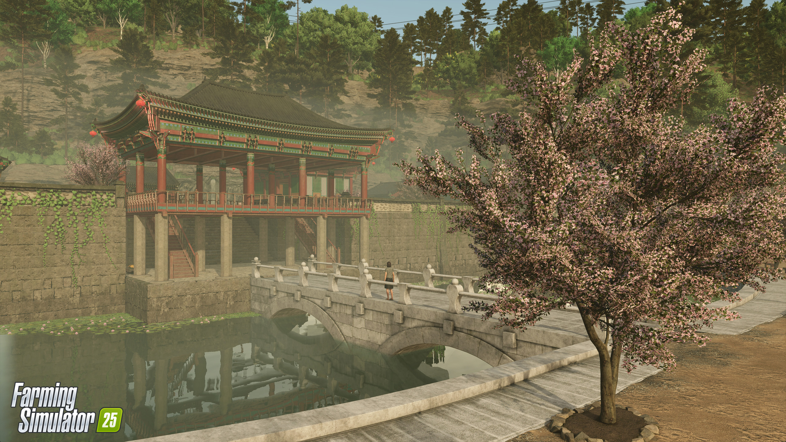
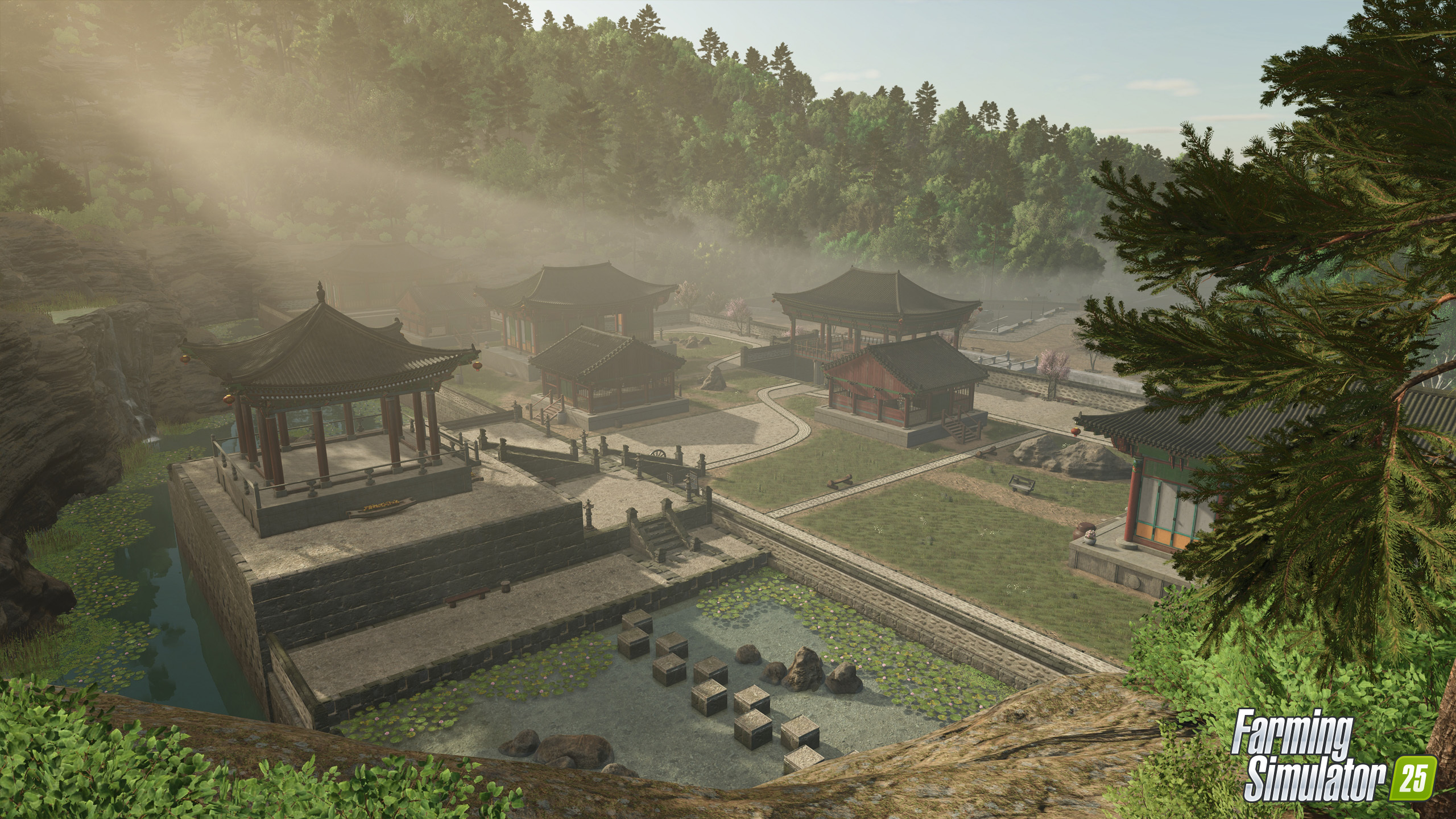
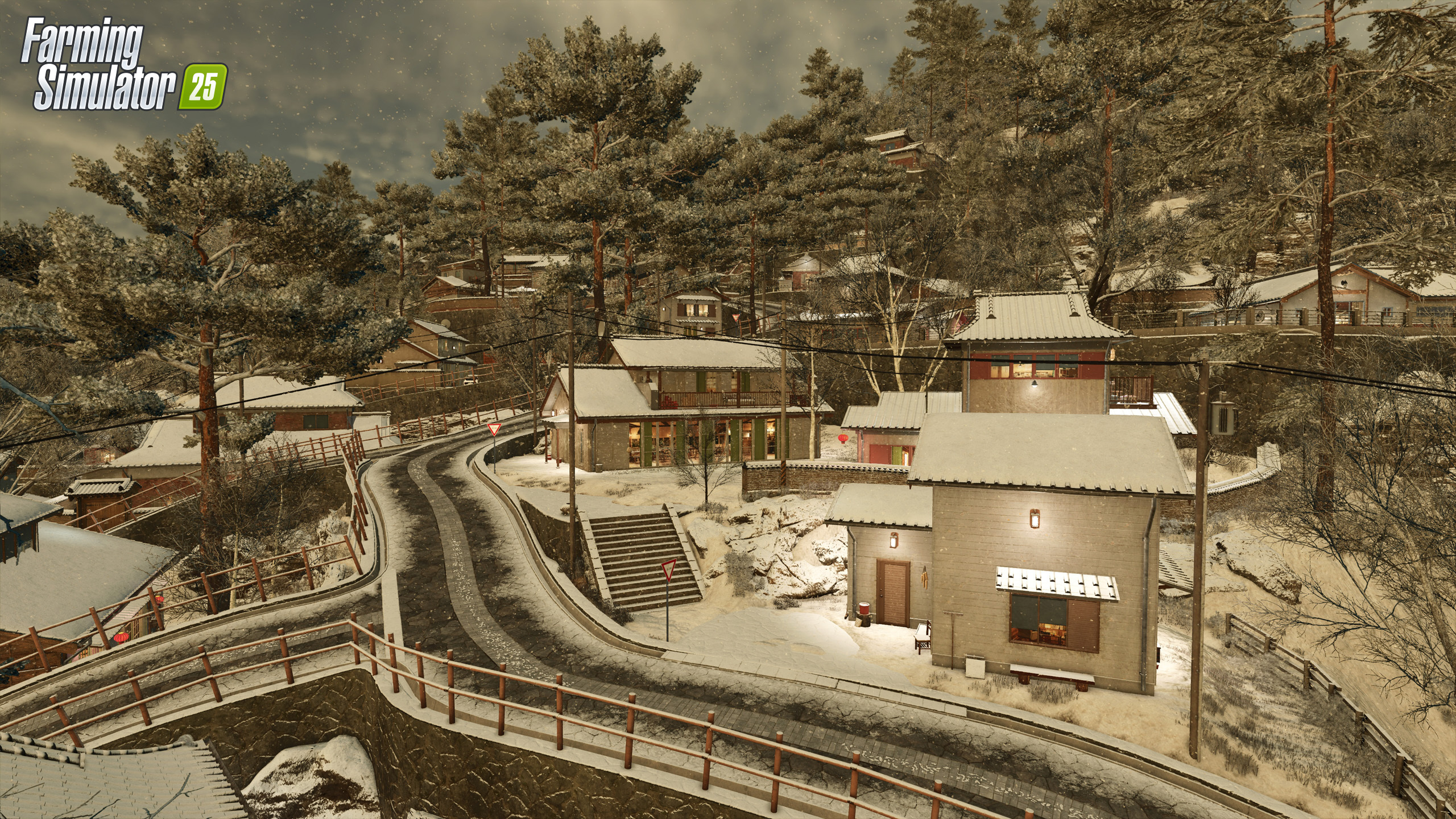
Furthermore, we prioritized preserving the region’s heritage and culture by designing a traditional village and a temple area, both reflecting architectural styles that have endured for centuries. These components pay homage to the area’s historical and cultural wealth, ensuring authenticity and a sense of tradition.


Where did the inspiration draw from?
Our inspiration emerged from numerous sources, each contributing to different facets of the Hutan Pantai map. For the traditional village area, we were profoundly influenced by Studio Ghibli films, particularly ‘From Up on Poppy Hill’, a personal favorite. Ghibli’s artwork captures the heart of these quaint, timeless villages, and that’s the atmosphere we aspired to convey.
For the industrialized town area, we turned to the electrifying, neon-lit avenues of thriving cities like Seoul and Tokyo. These vibrant, luminous scenes embody the brisk pace of modern life, something we sought to embody in our urban settings through intense illumination and dynamic architecture.
The inspiration for the temple area was drawn from various sources, including several K-dramas and detailed visual references that elegantly display the intricate design of these edifices. By referencing these detailed depictions, we were able to design a space that feels faithful and respectful of the cultural heritage it signifies.
When it came to the agricultural regions, we scrutinized both conventional and progressive farming methods specific to East Asia. We wanted a fusion that displayed the roots of agrarian life while showcasing its evolved practices, providing an experience that honors the past while embracing the future. Drawing from such a rich palette of sources allowed us to create a diverse and immersive world, densely populated with elements that reflect the true spirit of East Asia.


How do you initiate the creation of a new map?
The creation of every new map begins with comprehensive research centered around the specific region or theme we aim to portray. We deeply immerse ourselves in the culture and distinct traits of the area to deliver an authentic player experience. Our approach includes dividing responsibilities within the environment department to ensure we gather a wealth of knowledge.
Some team members delve into studying local architecture, while others focus on understanding the vegetation, agricultural techniques, and community-specific traits we wish to encapsulate. We also give keen attention to circumventing details that may be inappropriate, ensuring the map remains respectful and enjoyable for our community.
Upon concluding the research phase, we proceed to prototyping or pre-production. This phase involves experimenting with gray-boxing, developing simple 3D models to determine the map’s layout. It allows us to trial and refine the placement of crucial items like production facilities and landmarks. It’s a thrilling process of converting research into a tangible arena, helping us lay down a robust base for the finished map.


What was your strategy for crafting the environmental design and landscape?
Our approach to the environmental design of Hutan Pantai was founded on a clear vision emphasizing equilibrium and balance. This map distinguishes itself by highlighting the distinct juxtaposition of tradition and modernity, a recurring theme prevalent in the region’s landscapes. We concentrated the industrial sectors near the city, where a port signifies the culmination of the farming cycle, symbolizing the export of produce beyond the map’s periphery. While this serves as a metaphor rather than a gameplay function, it reinforces the rhythm and essence of farming life.
We aspired to capture the essence of East Asia authentically, merging the allure of rural surroundings with the energy of ongoing industrial advancement. The farming processes on this map stretch from the southwest to the northeast, guiding players through a journey of production and distribution. It revolves around maintaining symmetry—upholding a balance between heritage and innovation, ancient and new. This harmony is not only reflected in the tangible setup but also in the map’s persona, crafting an experience that feels true to the cultural and geographical realities of East Asia.


Can you tell us about the challenges faced while creating this map?
The process of creating the Hutan Pantai map introduced its own array of challenges, particularly with the complexity of the urban area. This was a step beyond what we had previously accomplished, requiring a careful balance between realism and performance. We endeavored to make the city feel authentic and lively without occupying a disproportionate section of the map or overburdening the performance on both consoles and PCs. Reaching this balance was both a technical and creative hurdle.
Designing infrastructure that connected the city with the rural regions posed another significant challenge. Planning a highway that smoothly links the core city with the map’s remainder demanded intricate planning, and incorporating tunnels into the pathway added a layer of complexity. Ensuring this infrastructure was both functional and seamlessly blended into the landscape was a genuine test of our design and engineering prowess.


What achievements do you take the most pride in, or what’s your favorite map feature?
I take pride in every aspect of this map and in the breakthroughs we achieved with Hutan Pantai, continually pushing our boundaries. However, what fills me with the most pride is the extraordinary work of our Environment Team. Their incredible skills and unwavering dedication truly brought this vision to life.
Our technical artist, Evgen, was instrumental in achieving the technical innovations we needed. Kevin, with his exceptional eye for detail, painstakingly perfected every component with patience and precision, elevating each piece of the map. Our vegetation team, Vanessa and Kenan, crafted the lush and immersive plant world that adds so much depth to the map. Gabriel devoted countless hours to bring the vibrant cityscape alive, making it thrumming with energy. And Anton’s patience and commitment consistently elevated every detail, striving to refine every element continually.
It’s a collaborative effort through and through, and witnessing each team member’s contributions coalesce to bring this map to life is the aspect I’m most proud of.


