Welcome to Little Rock! In today’s blog we take you on a tour of our version of the capital city of the Natural State, so buckle up and let’s explore this gem which you will be able to drive through in the upcoming map expansion.

The city celebrated its bicentennial not so long ago as it was established in 1821. Now, it is not only the state capital but also the most populous city in Arkansas with over 200,000 citizens. It is located right in the center of the Natural State along the Arkansas River which actually played a big part in forming its name. Little Rock was named for a stone outcrop on the bank of the river which was used by travelers as a landmark.


The Arkansas River also plays a huge role in our version of this city as we will have a riverport located there as a depot truckers will deliver cargo in and out of. There will of course be other important depots such as the local airport, an aviation service, and an intermodal depot.


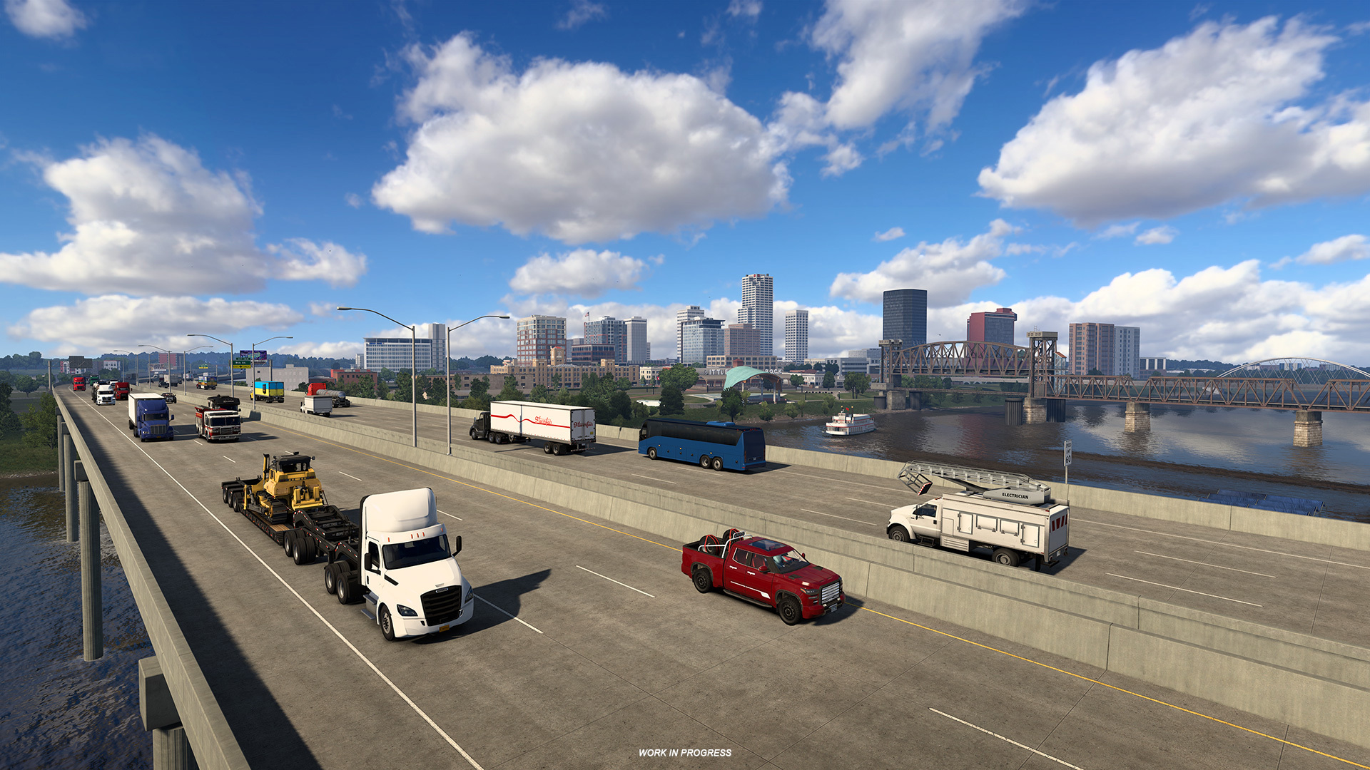
Truckers will have the best view of the city and its downtown from the Arkansas River Bridge, which cuts through the heart of the capital. From there, they will be able to spot notable Little Rock landmarks such as the Simmons Bank, the First Security Amphitheater by the river, the William J. Clinton Library and Museum, and the William E. Clark Presidential Park.


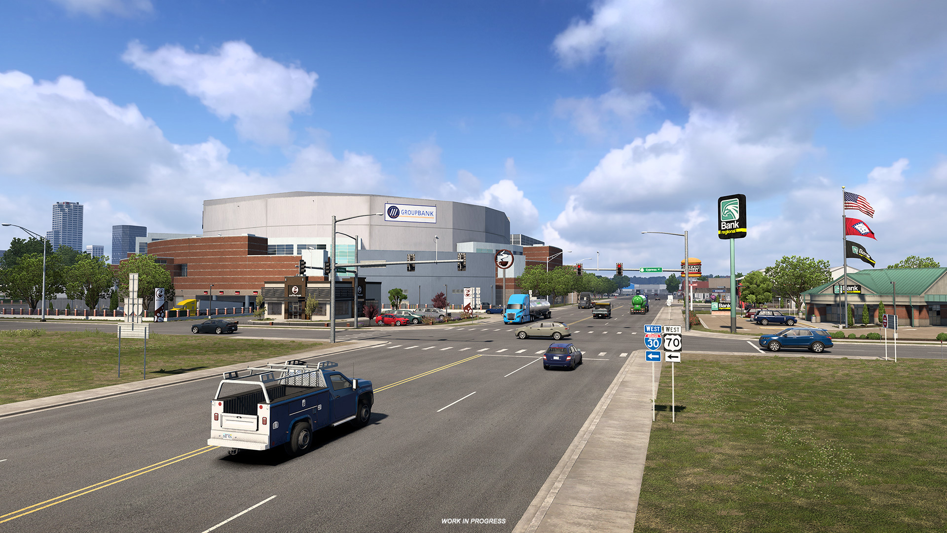
On the other side of the river, truckers will see the Simmons Bank Arena. And of course, we could not leave out the two pedestrian bridges on both sides of the Arkansas River Bridge, the Clinton Presidential Park Bridge and Junction Bridge, which both add to the scenic panorama.


We believe you will appreciate this preview of the Arkansas capital, but keep in mind that it is still a work in progress at the moment. If you are excited about the , make sure to ! Stay tuned for more updates on the development of the Natural State and other ATS-related news by following us on our , , , , and . Until then, drive safely!