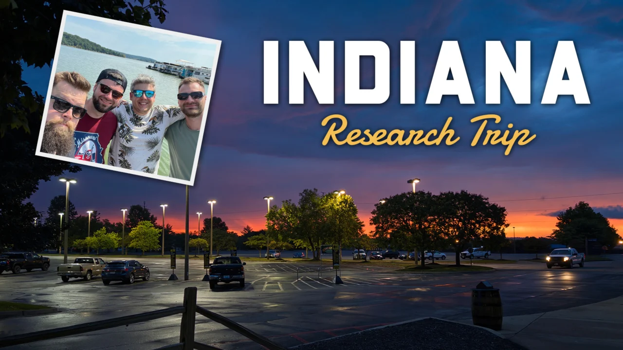
Indiana Research Expedition
Back in June, we proudly announced the development of the Indiana DLC for American Truck Simulator. While our talented map creators are hard at work bringing the Hoosier State to life, capturing its authentic spirit required a firsthand experience. Join us as we look back at their immersive research expedition across Indiana!
Our dedicated scouting crew featured map DLC lead Dubak, map designers Lukáš and Martin, and researcher Spekin. Today, they share their personal impressions from the journey alongside a selection of photographs captured along the way. We are also thrilled to showcase a few early work-in-progress screenshots of the map below!
“This marked my second research excursion to the United States, and it remains an extraordinary experience every single time. Beyond the breathtaking landscapes and nature, the region boasts vibrant, architecturally rich cities. Initially, we worried Indiana might simply be an endless expanse of farmland, but we couldn’t have been more mistaken. Designing this magnificent state and eventually sharing its hidden gems with our players is an absolute privilege.” — Dubak
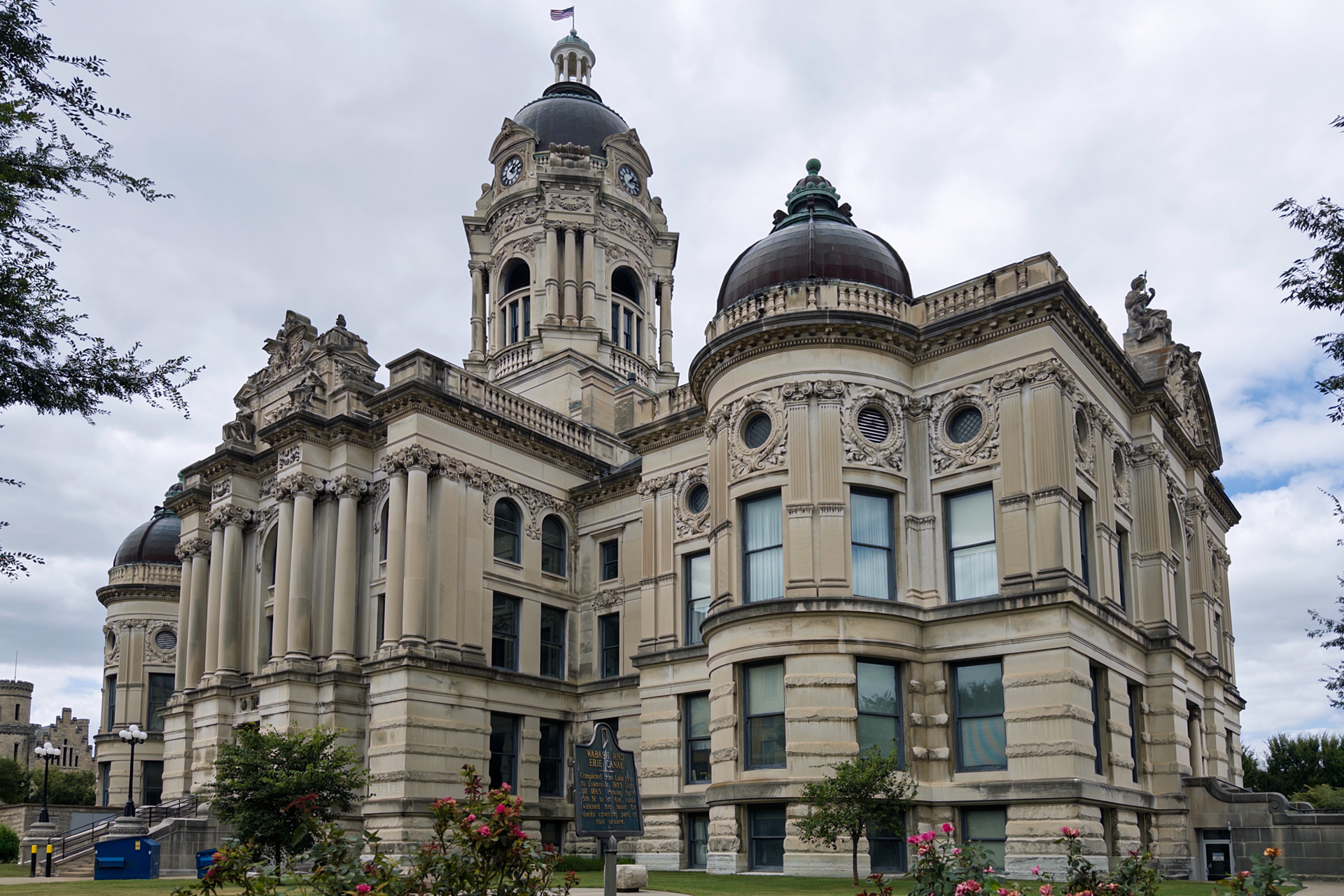
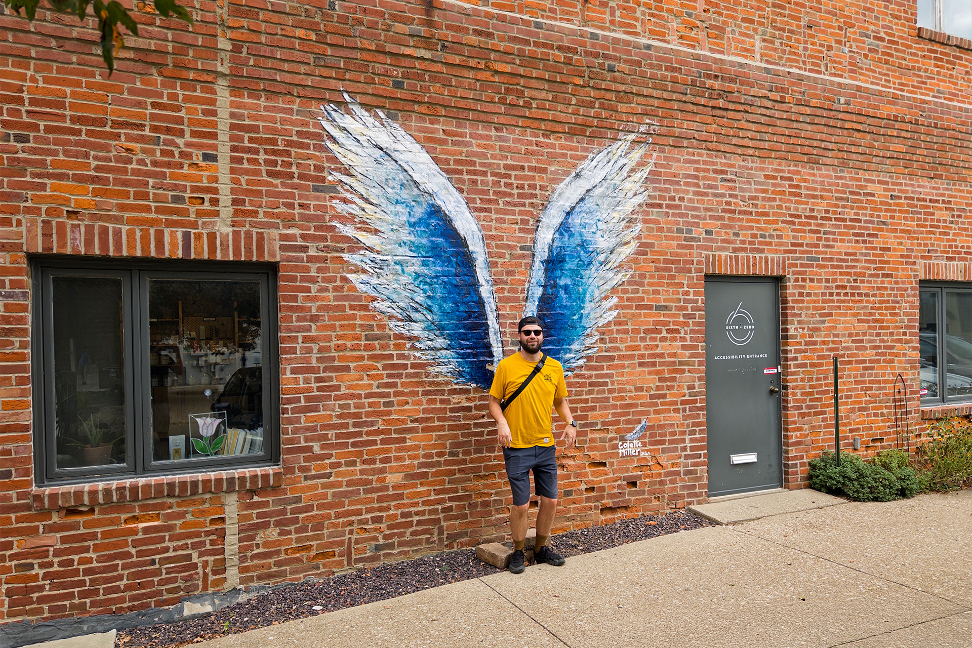
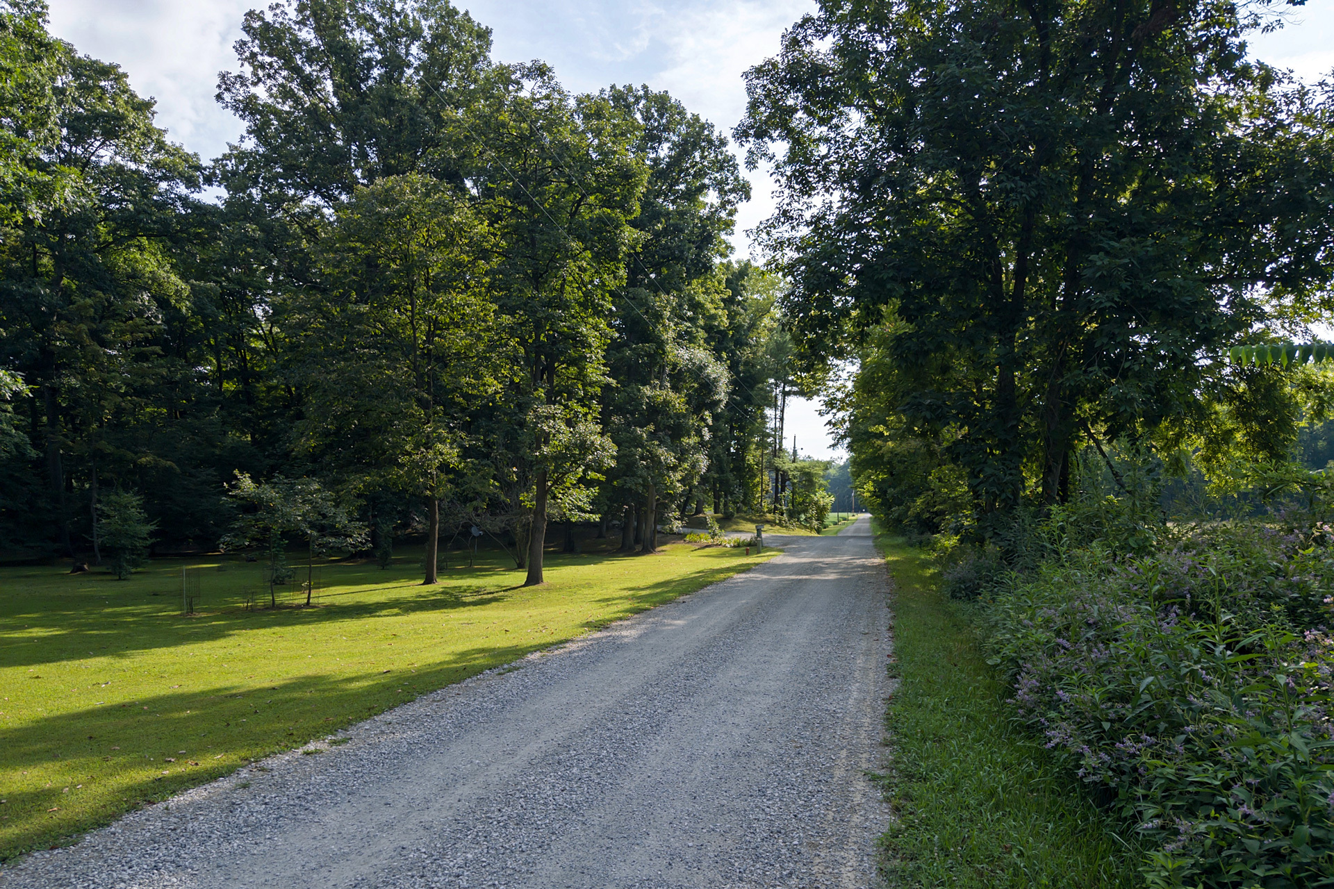
Traversing the state extensively, the team visited major urban hubs and iconic landmarks from Indianapolis and Fort Wayne to Evansville and South Bend. “We were completely captivated by the State Capitol and the monumental memorials in Indianapolis, not to mention exploring the sprawling steel mills in East Chicago, the serene shores of Lake Monroe, and the breathtaking Indiana Dunes National Park,” Dubak noted.
Over the course of nine days, the crew accumulated countless reference materials while soaking in the distinct atmosphere of every destination. They emphasized that wandering these streets in real life before virtual reconstruction provides an invaluable perspective that mere digital scouting simply cannot replicate.
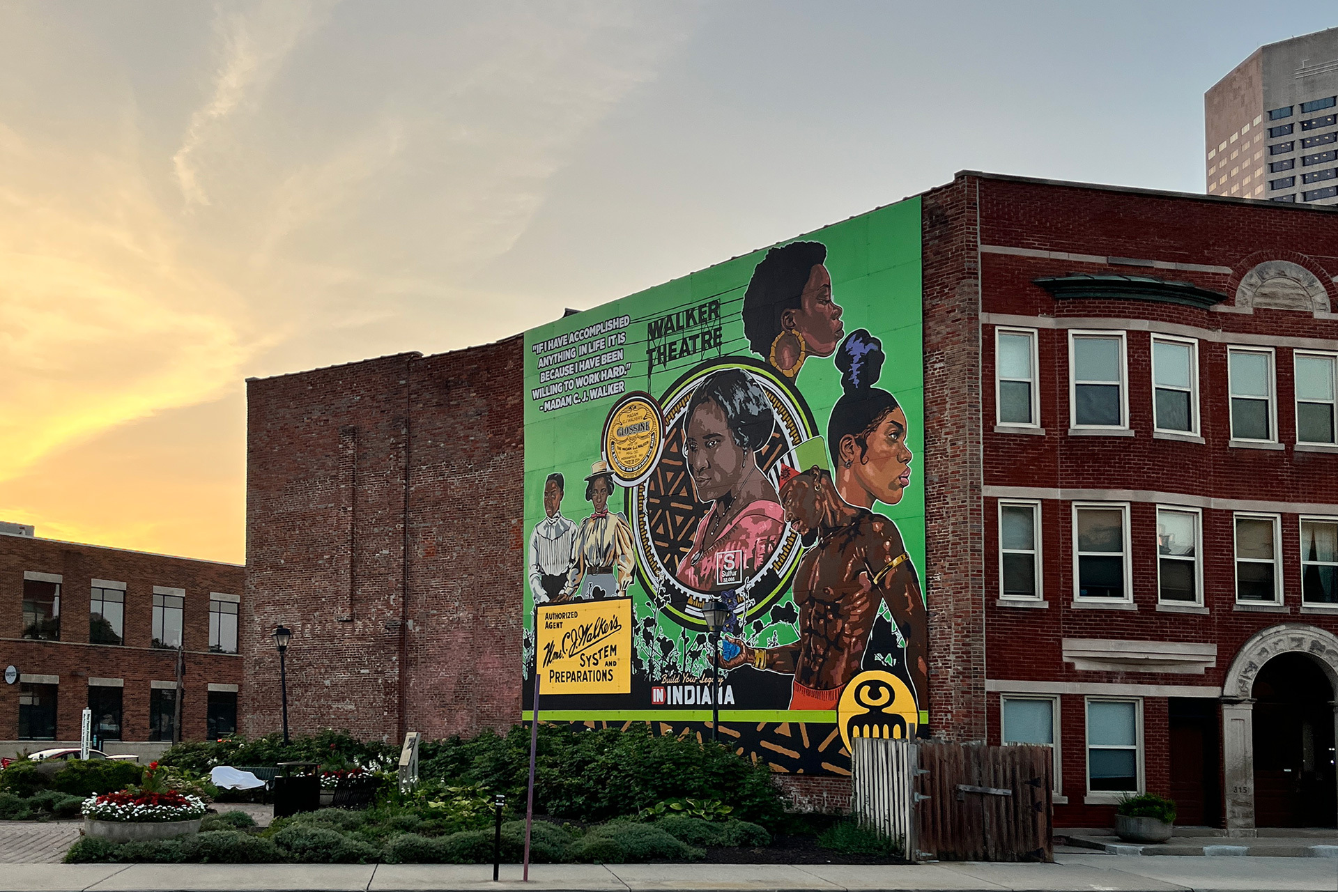
“As a map designer, stepping onto US soil for the first time was genuinely exhilarating. You truly absorb the sheer scale and unique atmosphere of your surroundings. I deeply appreciated all of Indiana’s architectural details—from historic courthouses, churches, and banks to statues, memorials, and intricate murals. American history has left a profound mark on the landscape, and experiencing it firsthand is unforgettable.” — Lukáš
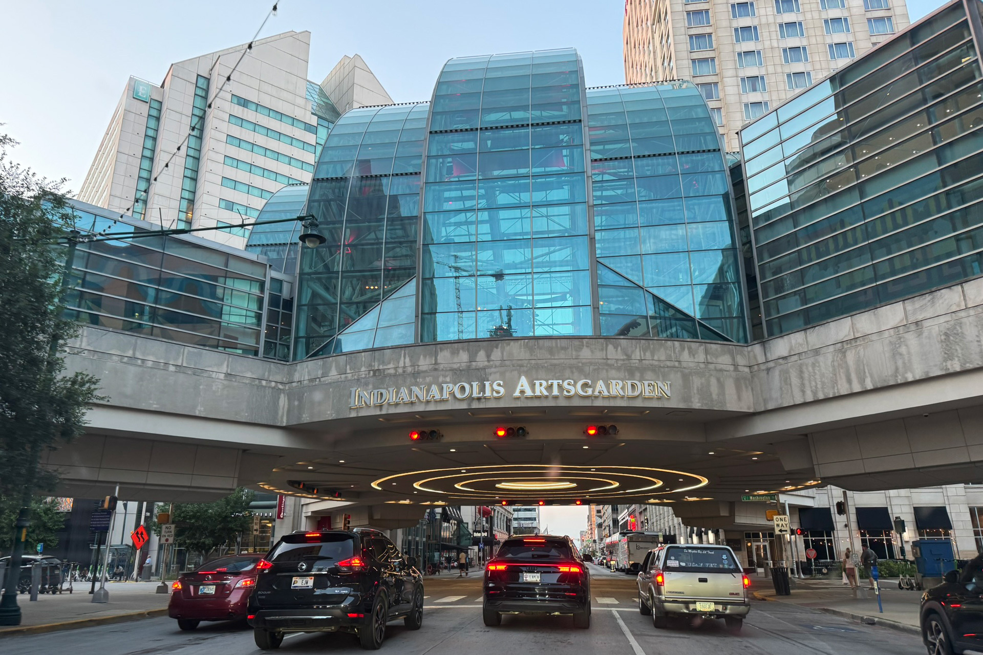
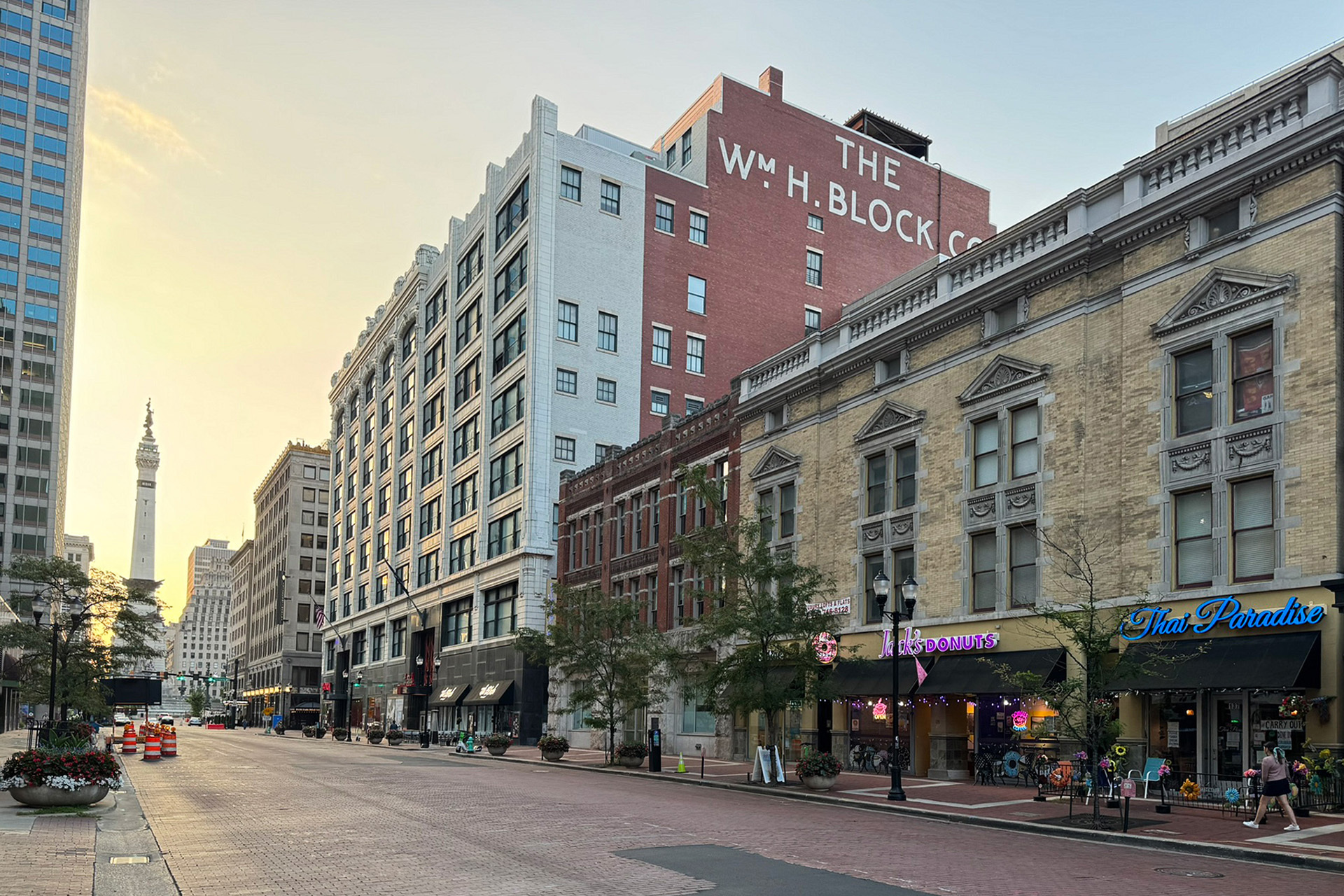
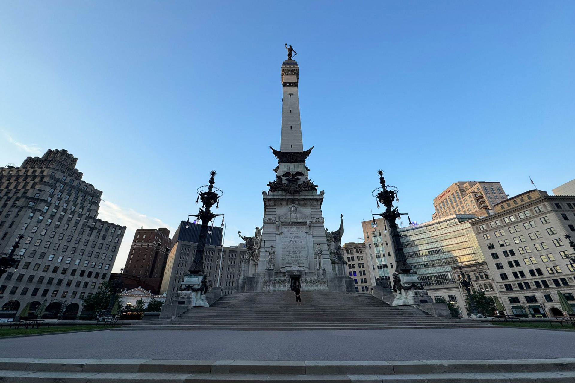
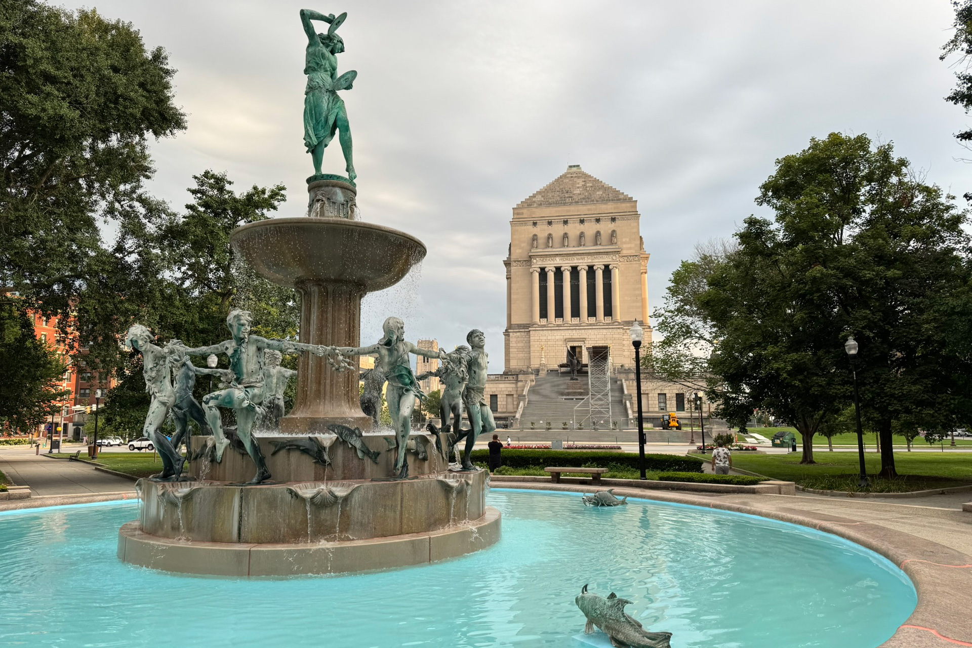
Physical presence exposes subtle nuances that street-view imagery often obscures, helping the developers determine which elements are crucial for authentic immersion within the virtual world.
“My focus as a designer was capturing the micro-details that grant every corner its genuine character. If you remain observant, incredible sights reveal themselves everywhere. I quickly learned a golden rule: in America, bigger is usually better! I also developed a soft spot for vintage billboards, signage, and advertisements, compiling an extensive photo library to inspire our asset creation team. Encountering a local Amish community was another fascinating highlight. Overall, it was an inspirational journey I would gladly repeat.” — Lukáš
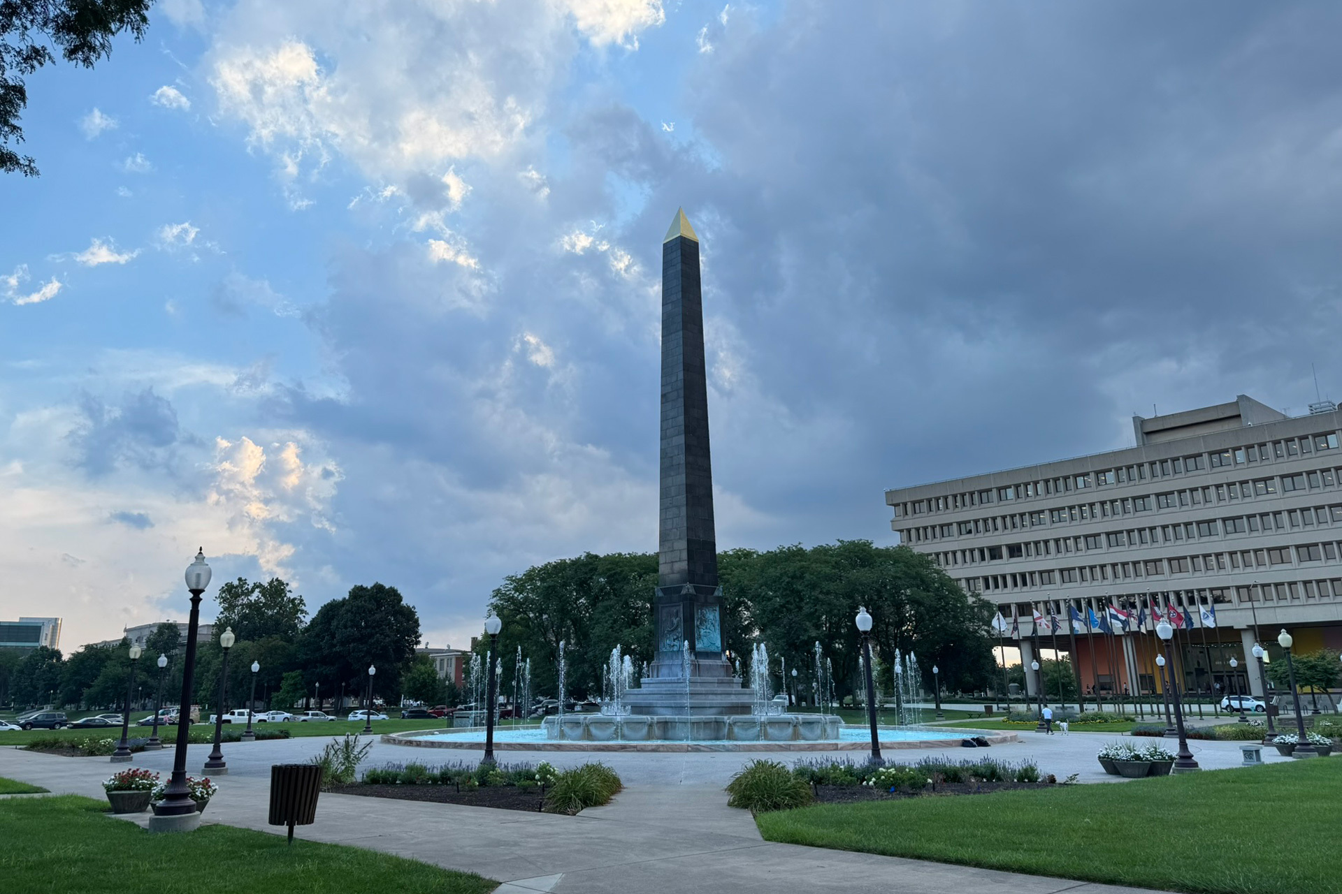
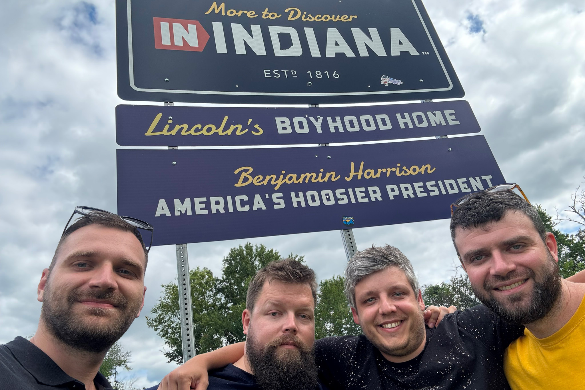
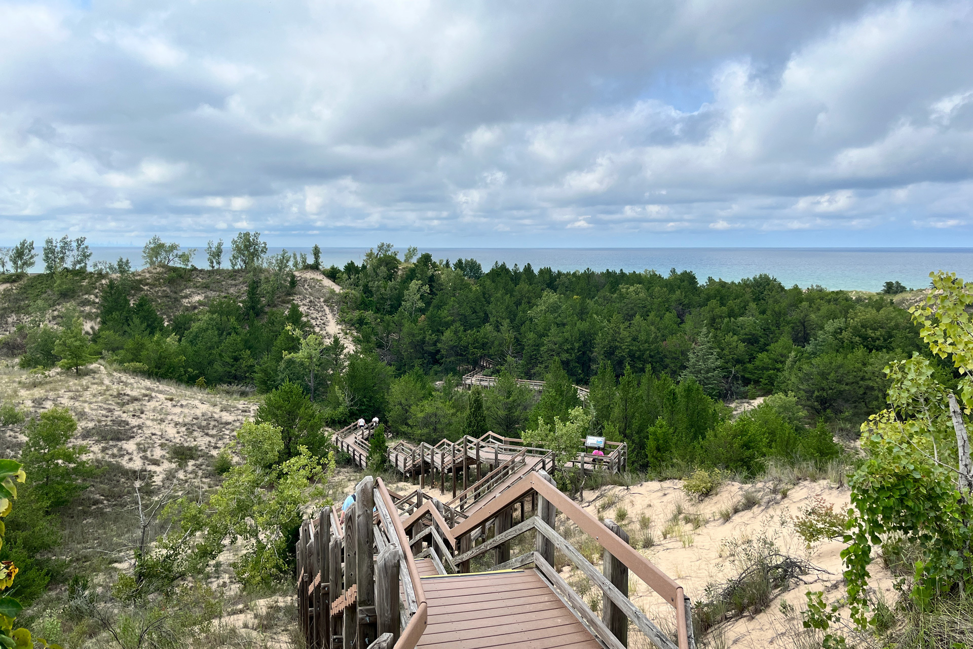
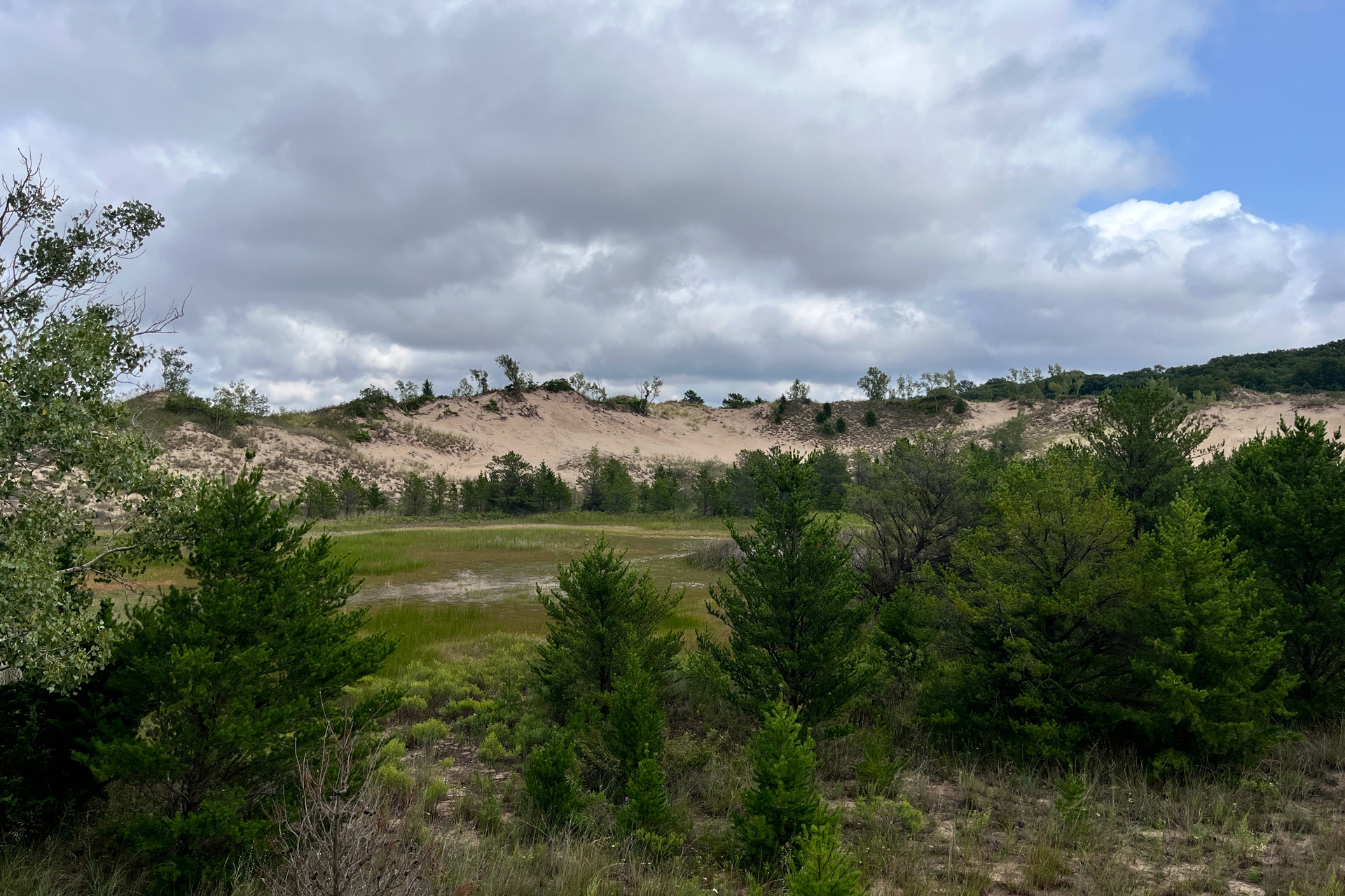
For Martin, the most striking takeaway was the astonishing variety of Indiana’s ecosystems and the picturesque roadways binding them together.
“The sheer ecological diversity left me spellbound—dense woodlands seamlessly giving way to national parks, wetlands, rolling prairies, and towering northern sand dunes flanking Lake Michigan. The winding IN-46 highway stretching between Bloomington and Columbus through the Norman Upland and Brown County State Park was an absolute masterpiece of a drive. Furthermore, witnessing Indianapolis balance modern skyscrapers with historic cathedrals and pristine green spaces was truly mesmerizing.” — Martin
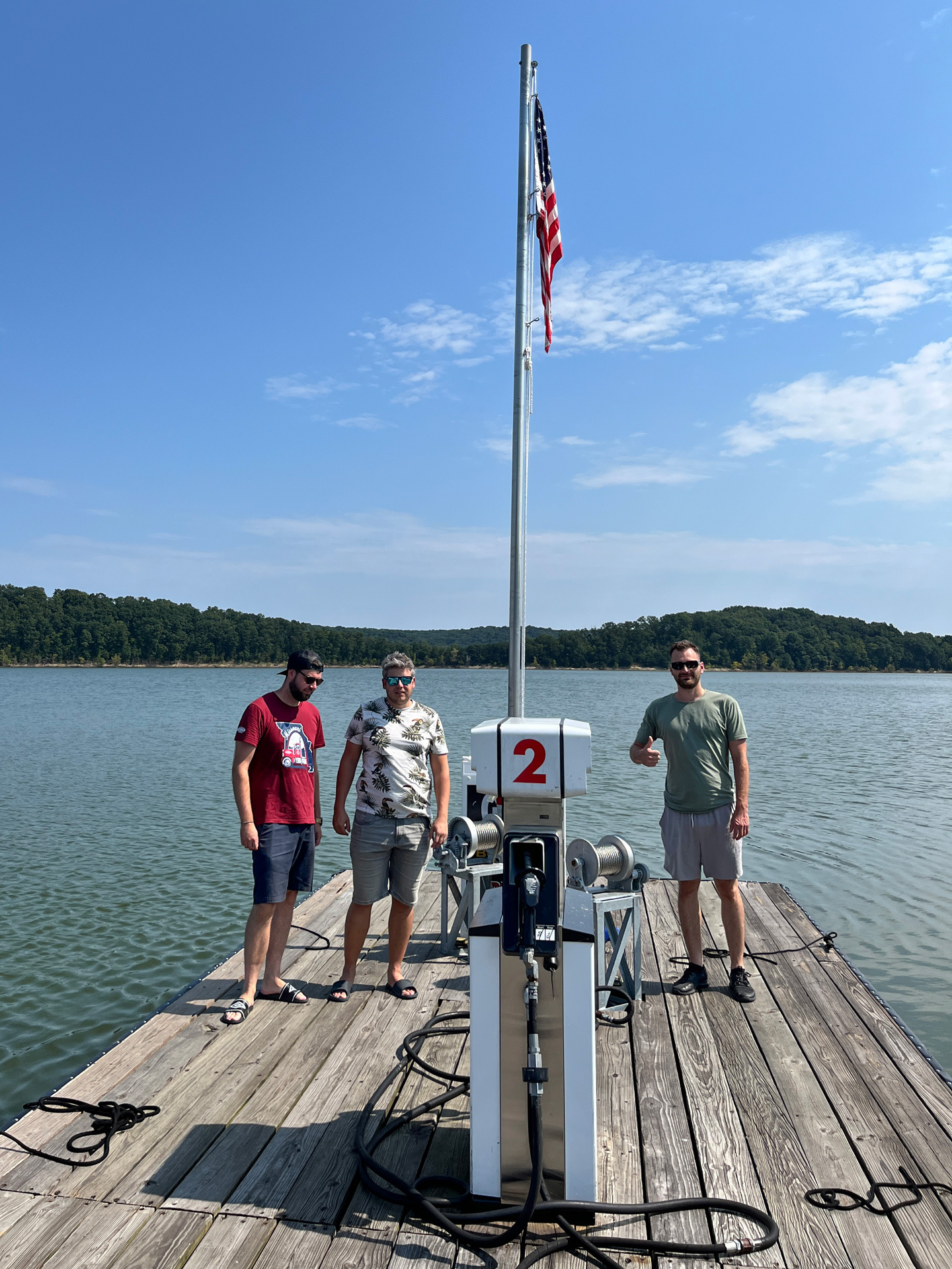
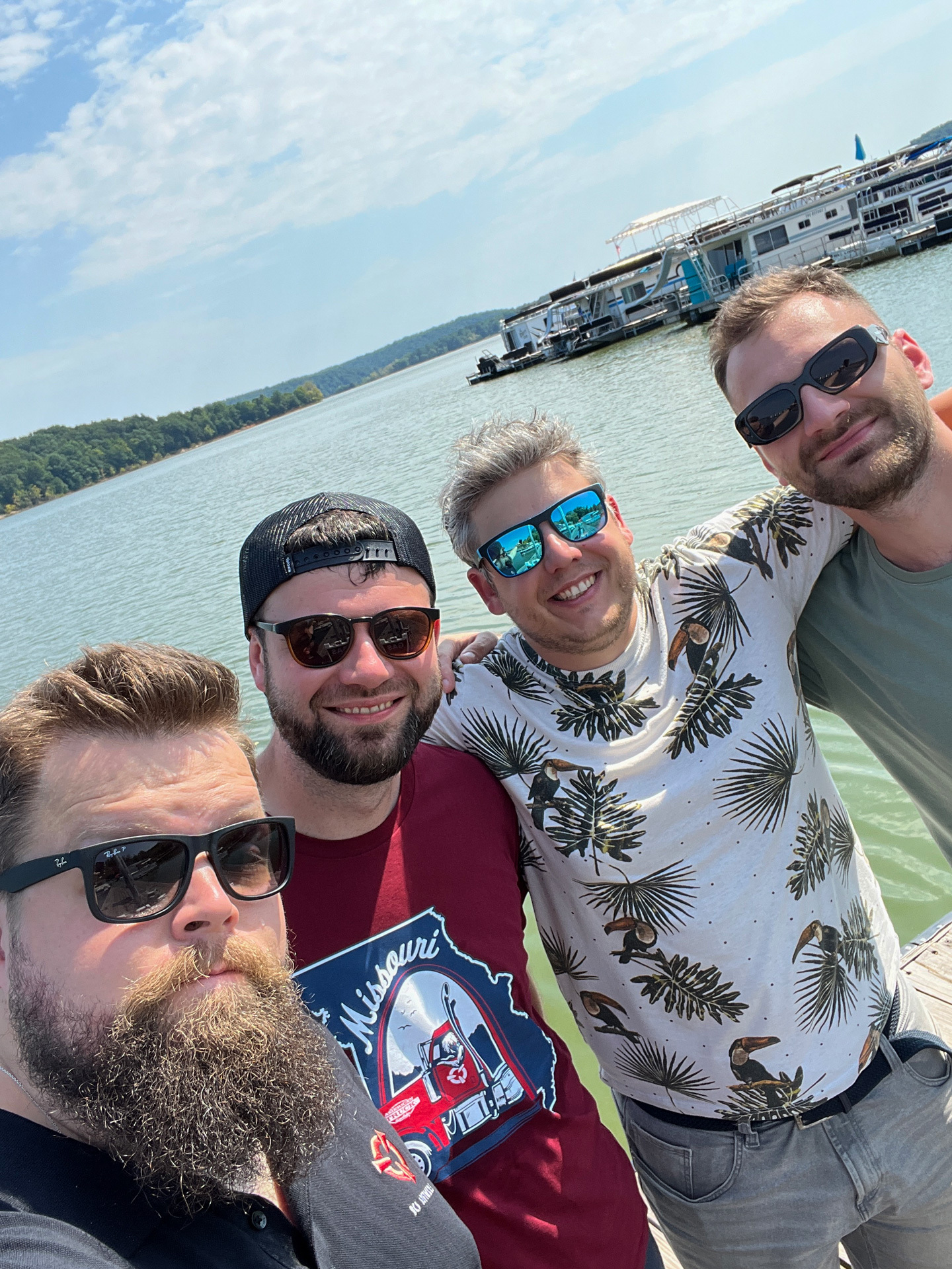
Even Spekin, whose daily role as a researcher involves deep analytical preparation of upcoming areas, found himself surprised by the reality on the ground.
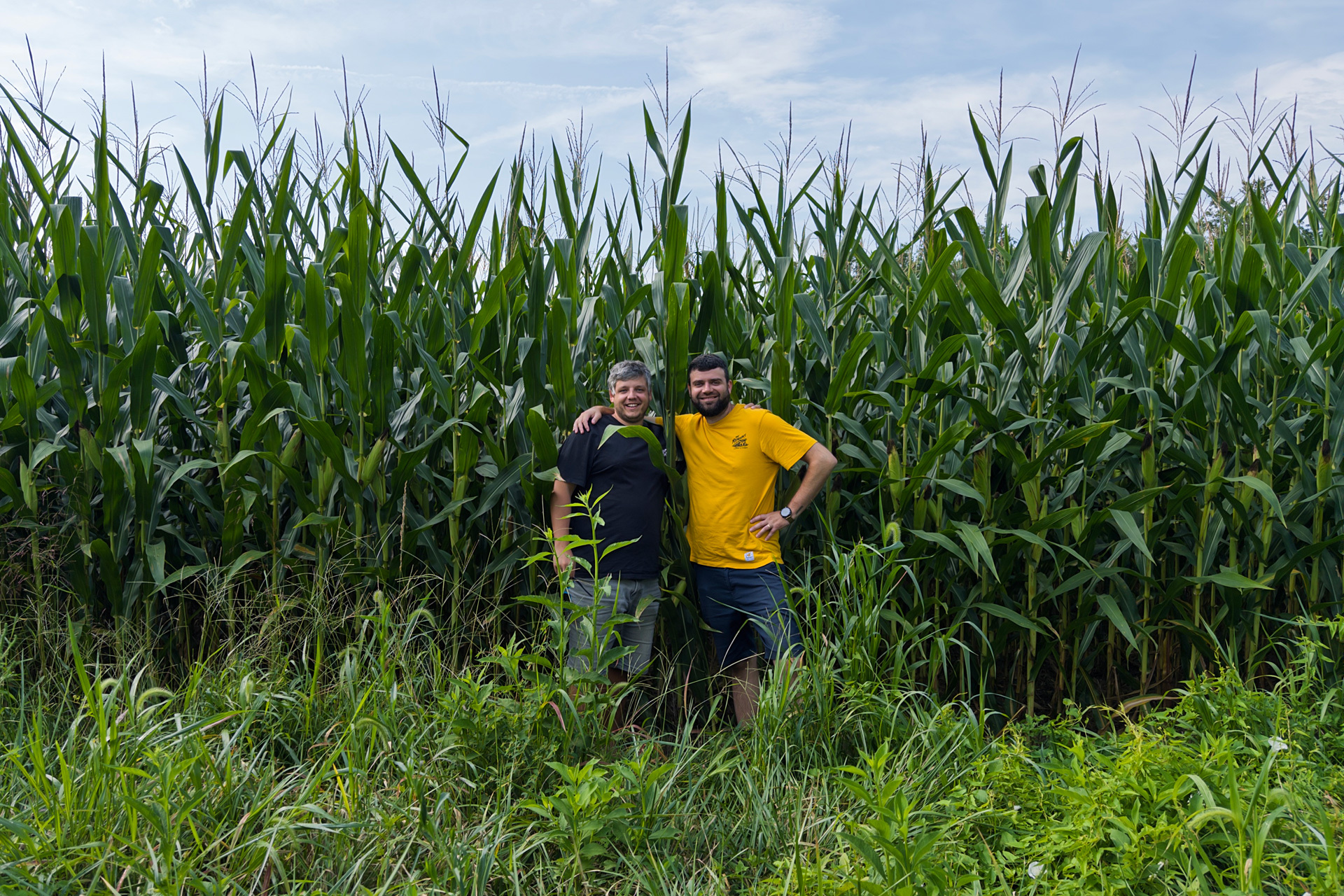
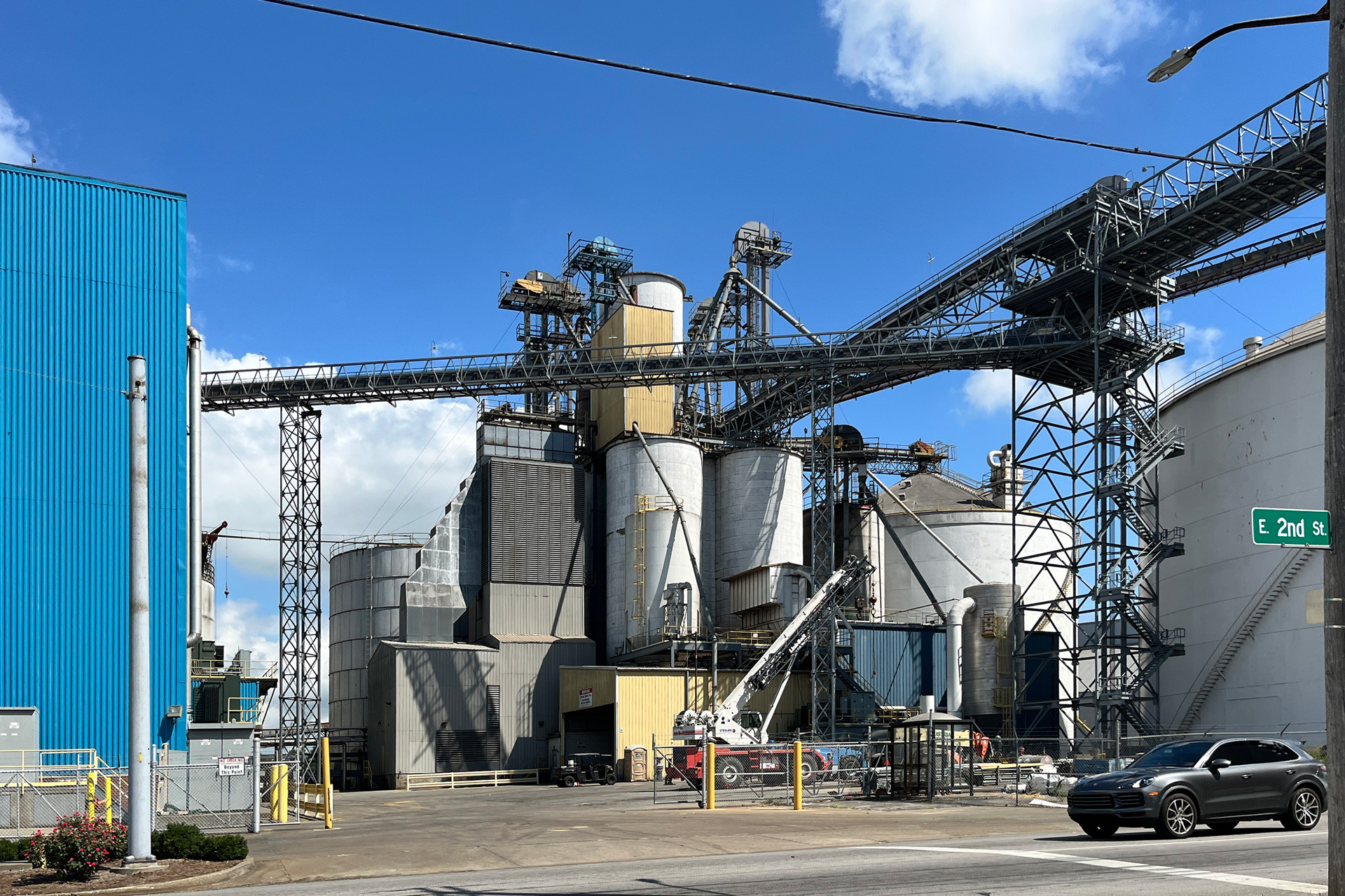
“Everything in the US is simply massive. Flags, grain silos, roadways, and rural horizons possess a scale that maps fail to convey, complete with subtle elevation changes rather than flat plains. We measured and documented everything from urban curbsides to towering stalks of corn—often trying our hardest not to look suspicious while gathering data!” — Spekin
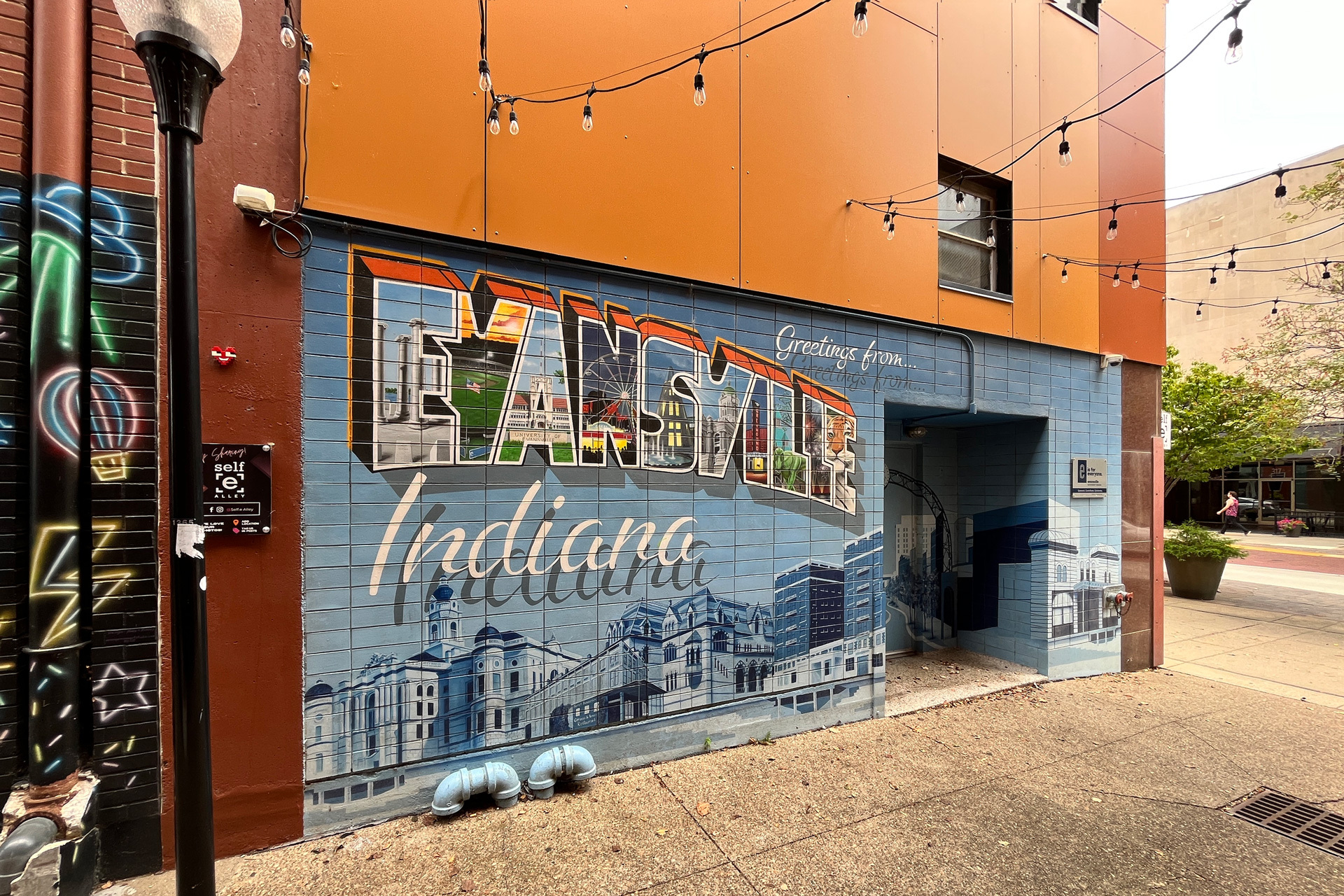
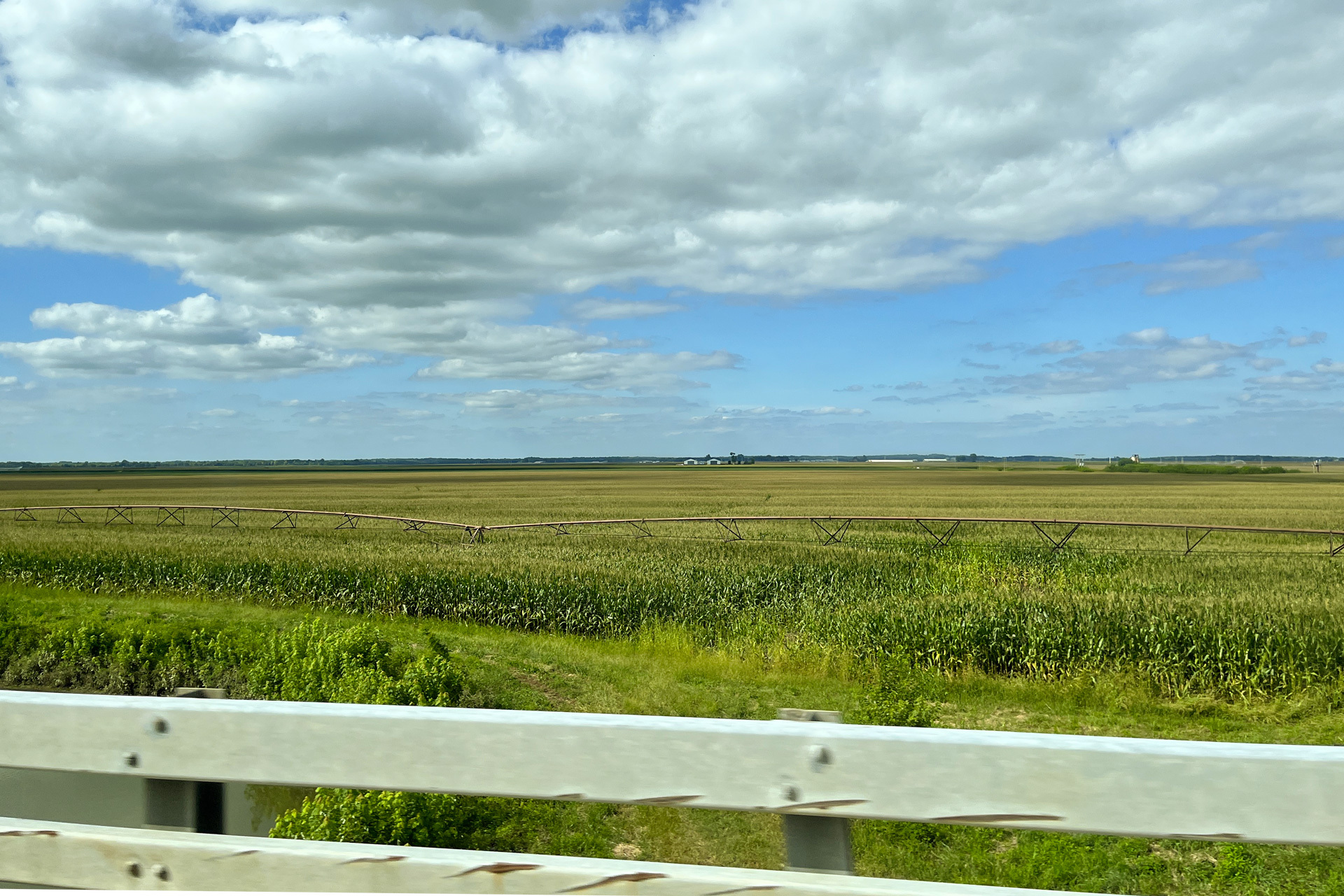
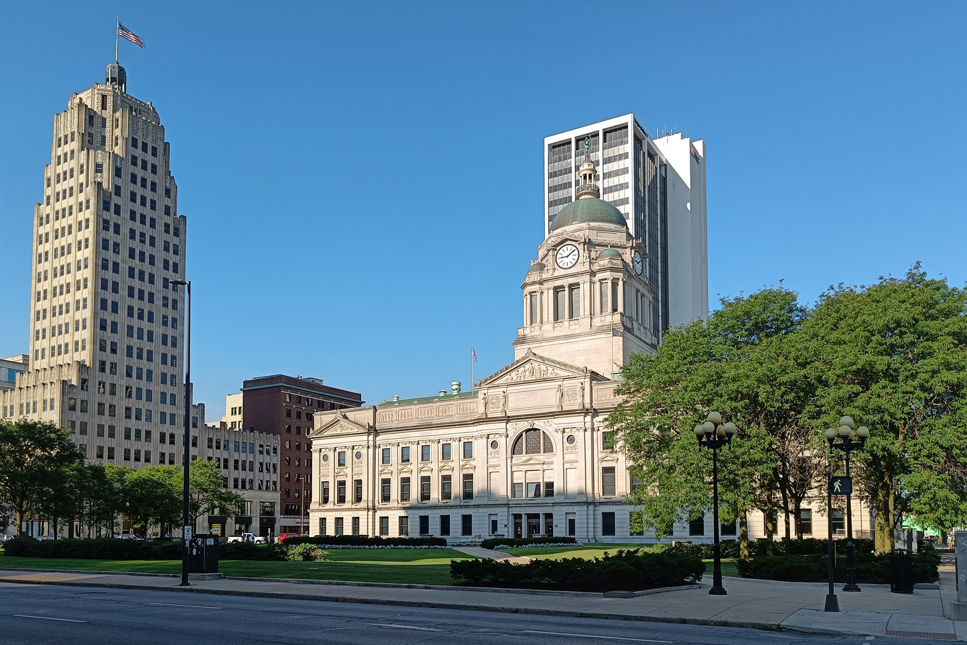
As a researcher, Spekin’s duty is filtering useful data for other departments while keeping game engine limitations in mind. “Sometimes references serve purely as mood inspiration—like nighttime architecture illuminated by neon signs, which are notoriously tricky to source online. Arriving at destinations after dark during this trip made capturing those specific lighting conditions much easier.”
“I have a soft spot for rural infrastructure, so agricultural elements like barns, silos, and farm animals dominate my photo collection. I’m also drawn to heavy industry, so getting a perimeter look at the Gary Steel Works was thrilling. We even tracked down historic covered bridges across the state. Honestly, every town left an impression, and I wish we could fit every single detail into the game!” Spekin added.
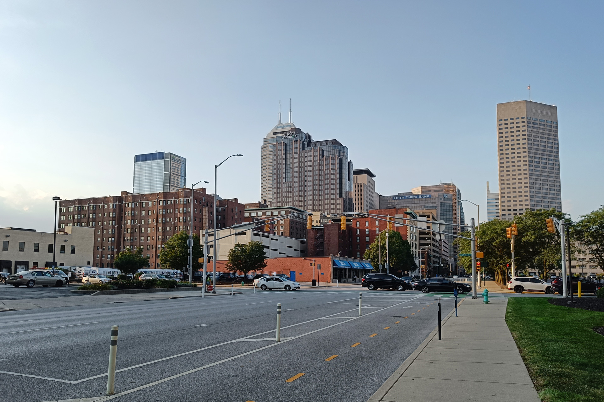
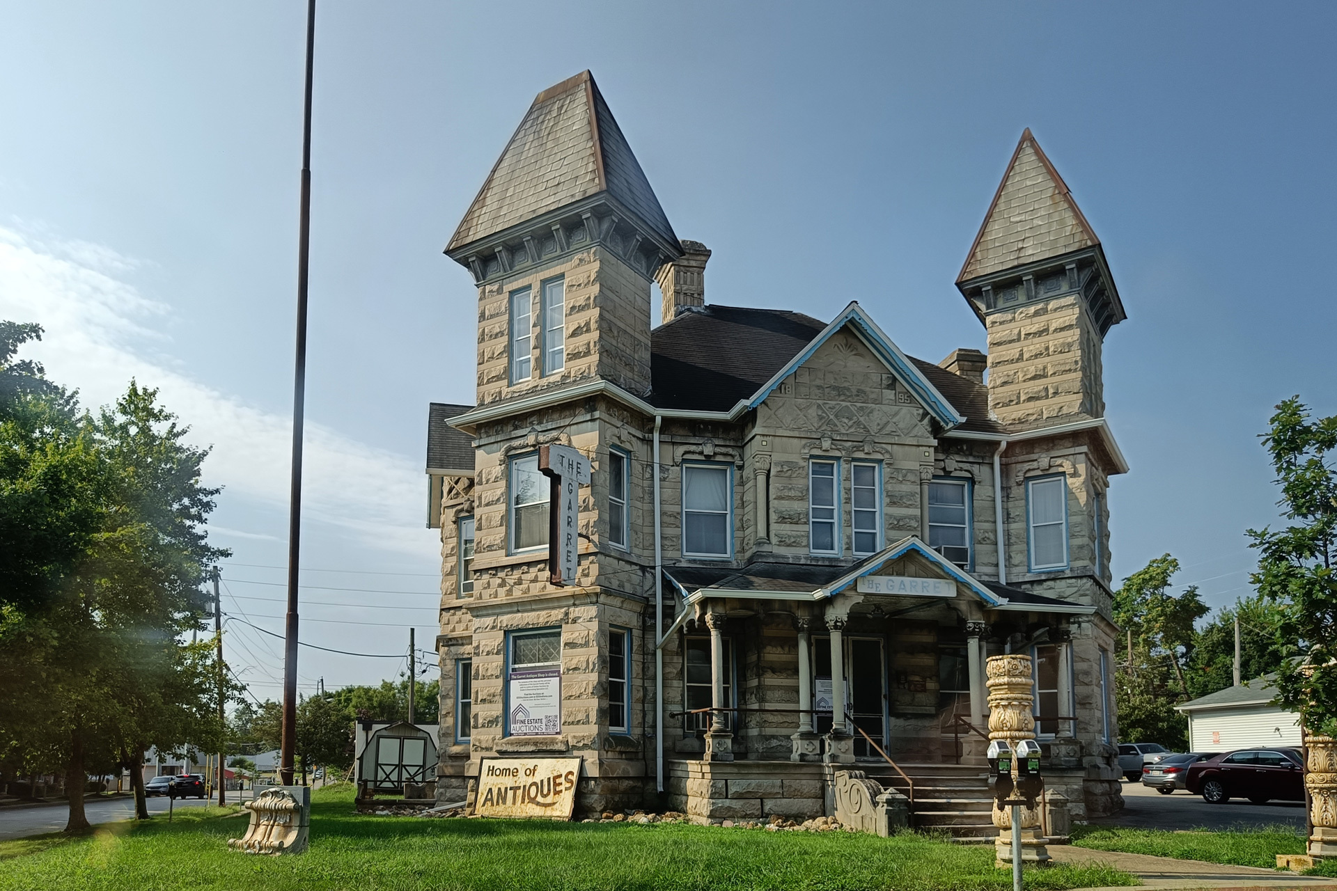
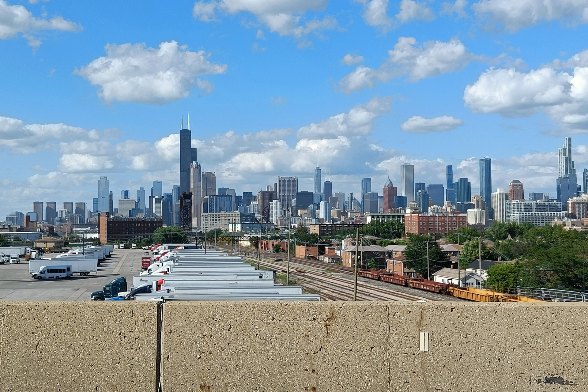
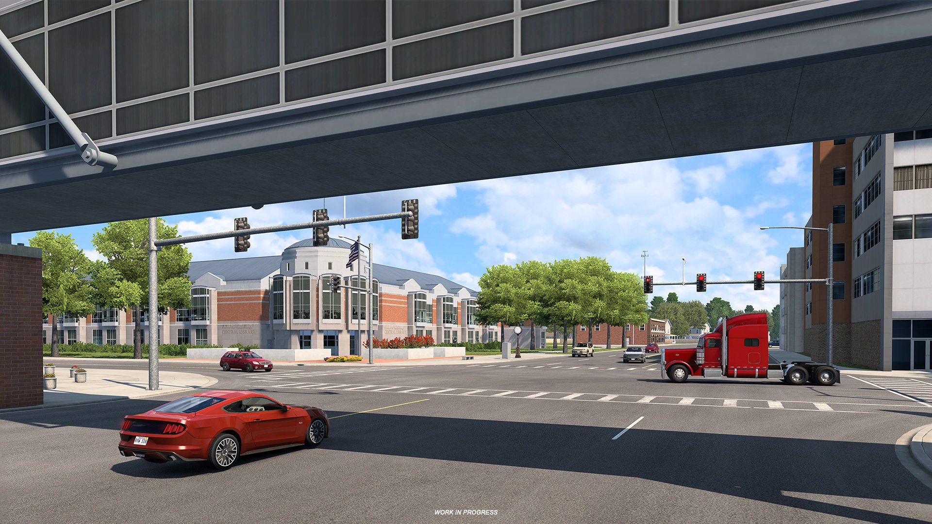
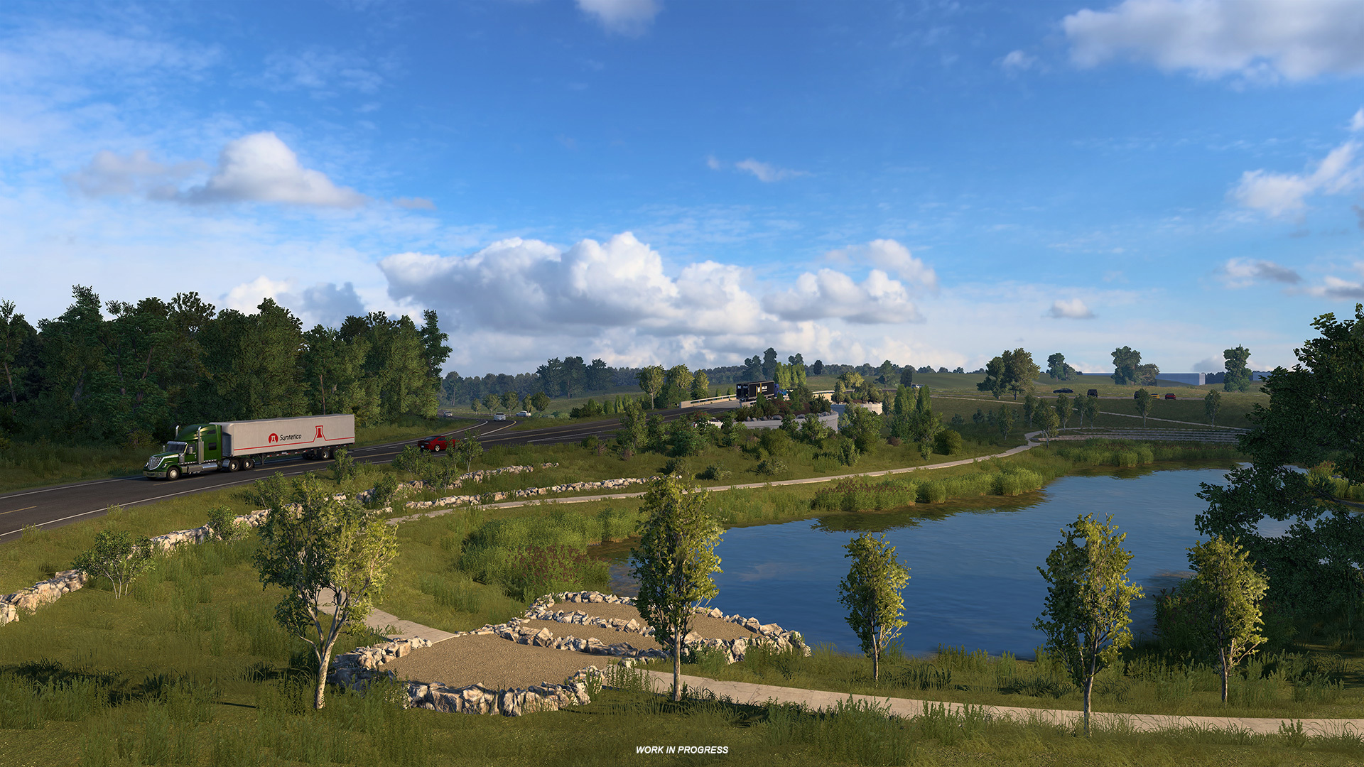
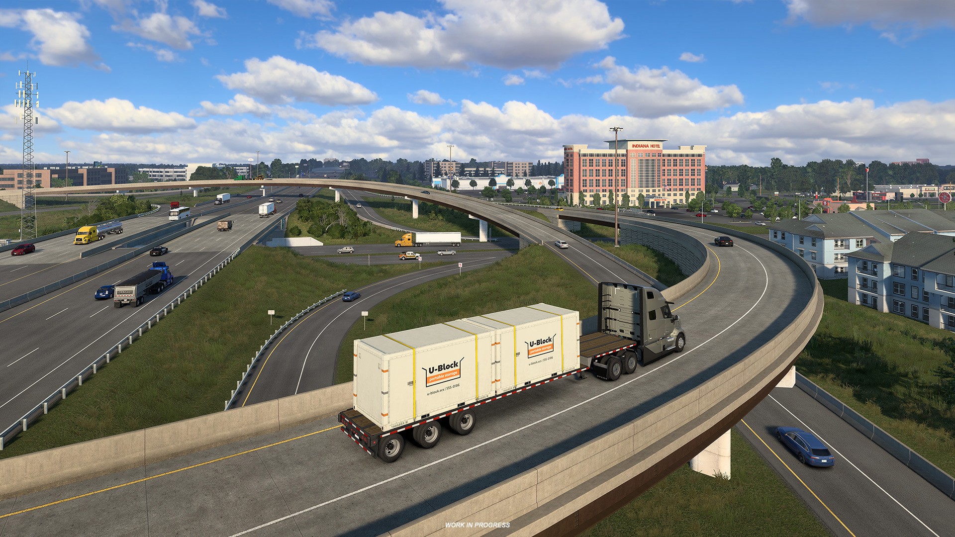
While map development remains in its early phases, we are excited to share a preliminary glimpse of assets currently taking shape.
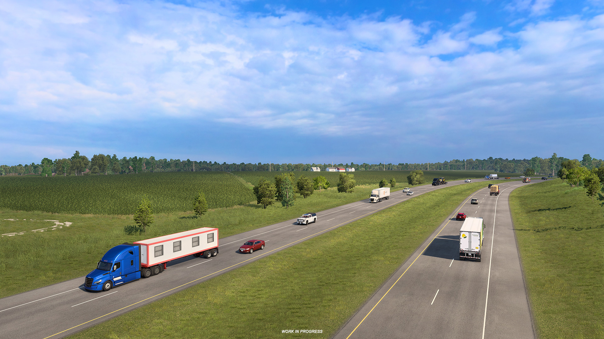
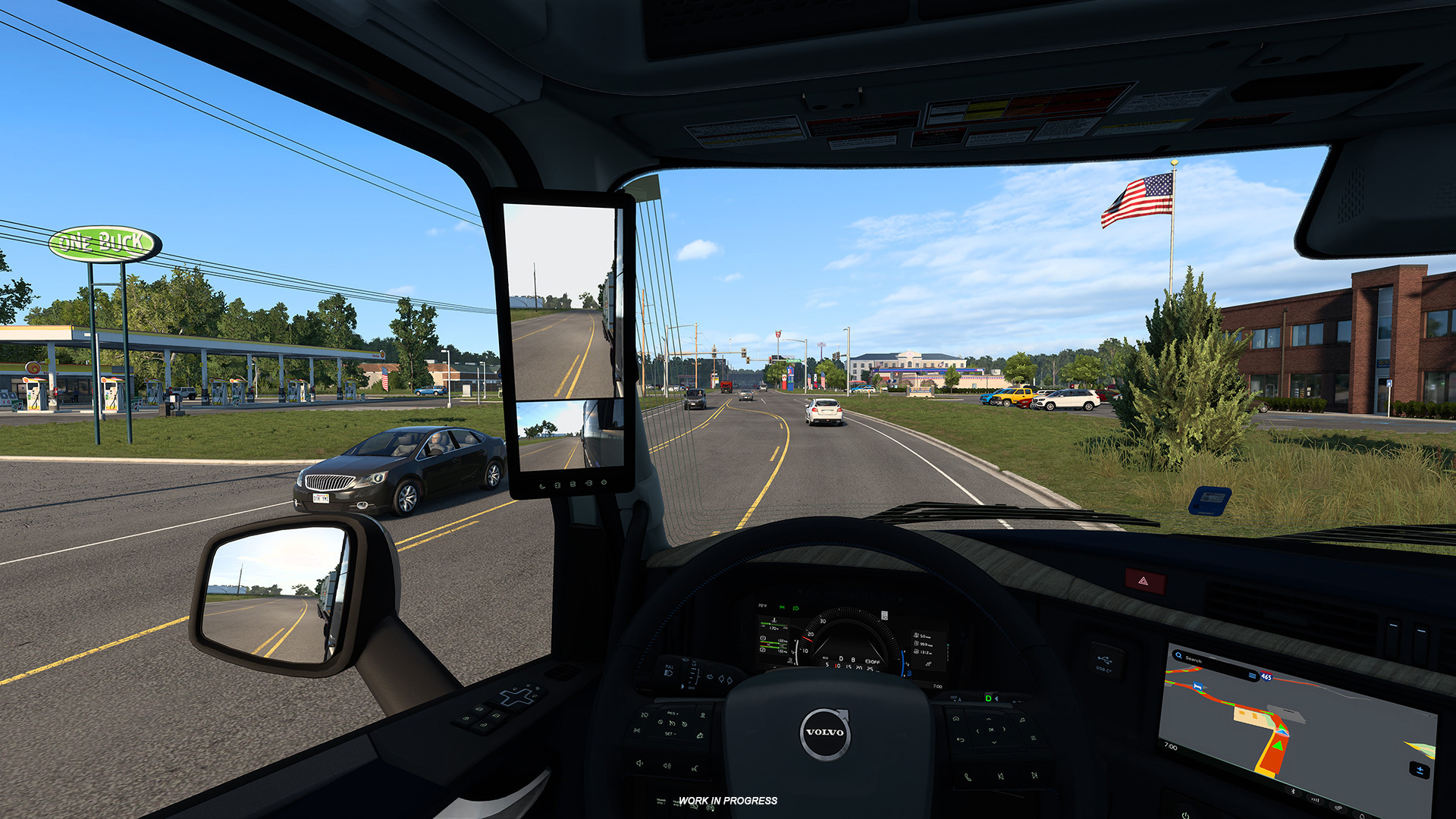
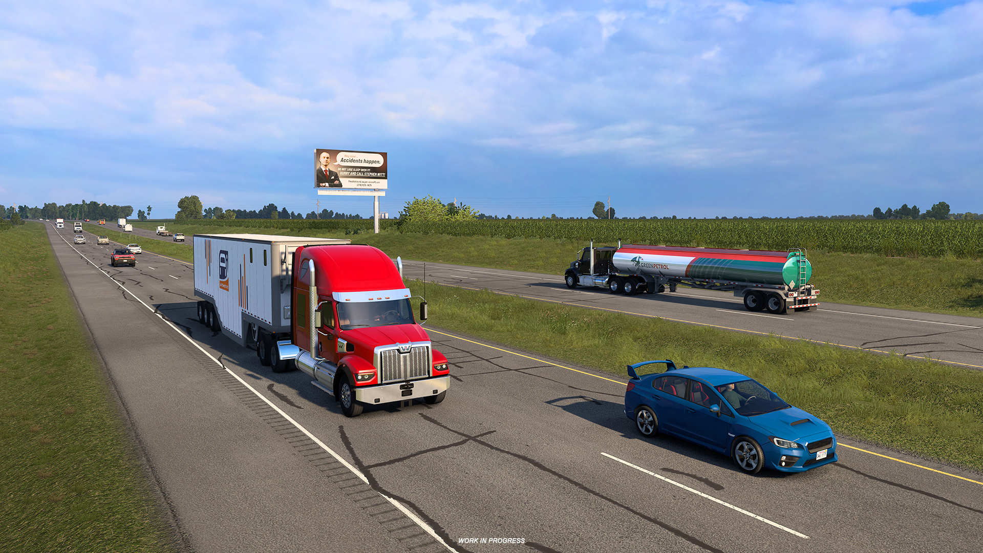
Featured above are early reconstructions of iconic areas including the Evansville public library, Acy Lake, and regional corridors surrounding Indianapolis, I-69, and US 30.
That wraps up today’s blog update! We hope you enjoyed tagging along on our Indiana research expedition. If you share our excitement to drive through the Hoosier State, be sure to add the Indiana DLC to your Steam wishlist to support the development team!
Stay connected with us across X/Twitter, Instagram, Facebook, Bluesky, and TikTok, or subscribe to our newsletter for the latest news. Until next time, we’ll see you out on the open road!
https://store.steampowered.com/app/4400800/American_Truck_Simulator__Indiana/
Related articles
 Euro Truck Simulator 2: Version 1.61 Update Released
 SCS On The Road: Iceland Research Trip
 American Truck Simulator: Update 1.61 Released
 Freight Market & Quick Jobs Road Trip
 World of Trucks: Events Resume
 World of Trucks: Resuming Events
 Community Stories: Trucker Cassie
 Cavan: Ireland’s Lake District